Bonjour Ventoux
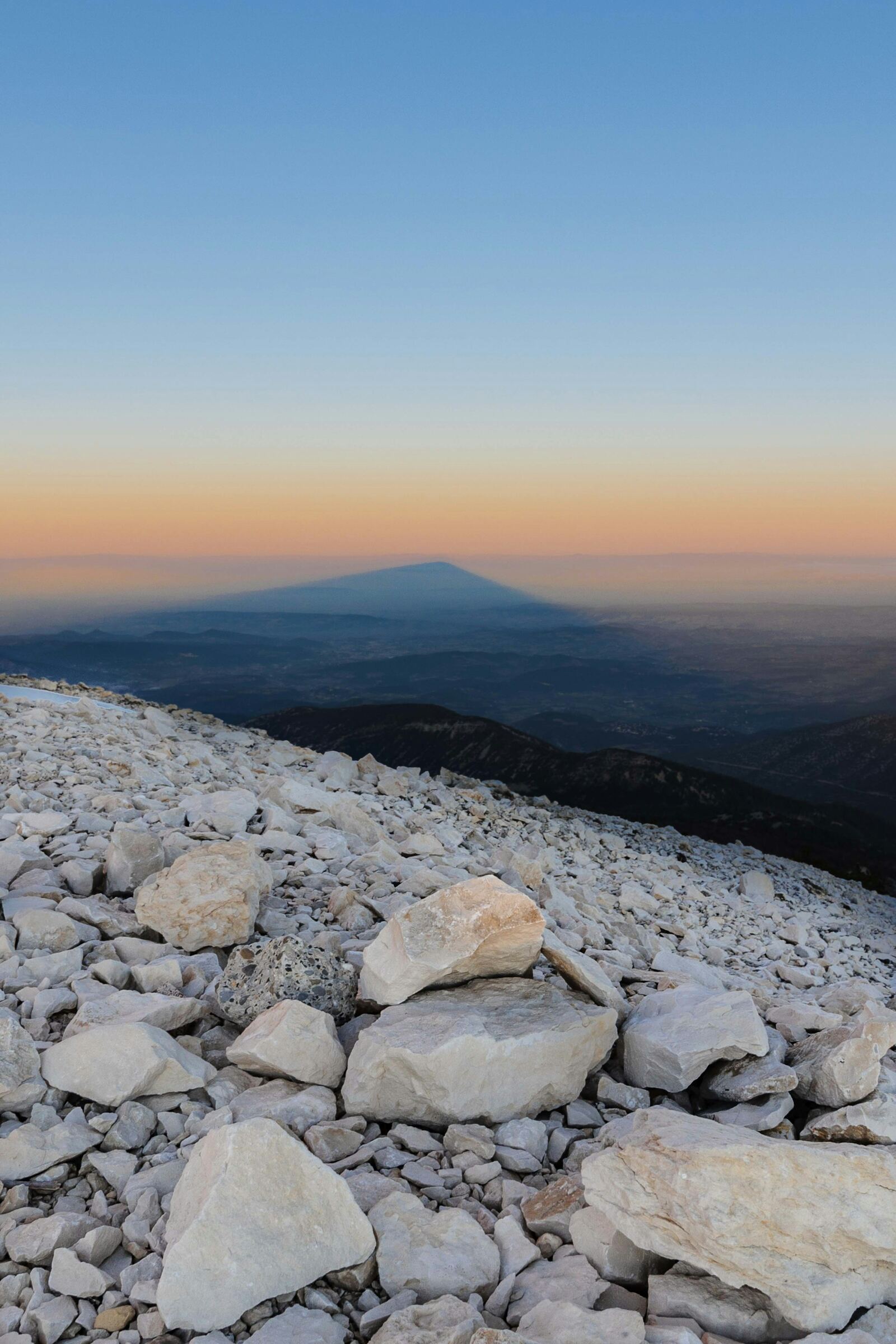
The shadow of Mont Ventoux cast across the plain at sunset
Ideas

Ideas

Villages, vineyards, walks, cycling, family, markets: where to start around Mont Ventoux.

Photo: Kévin et Laurianne Langlais, Unsplash

Trip ideas

The must-sees

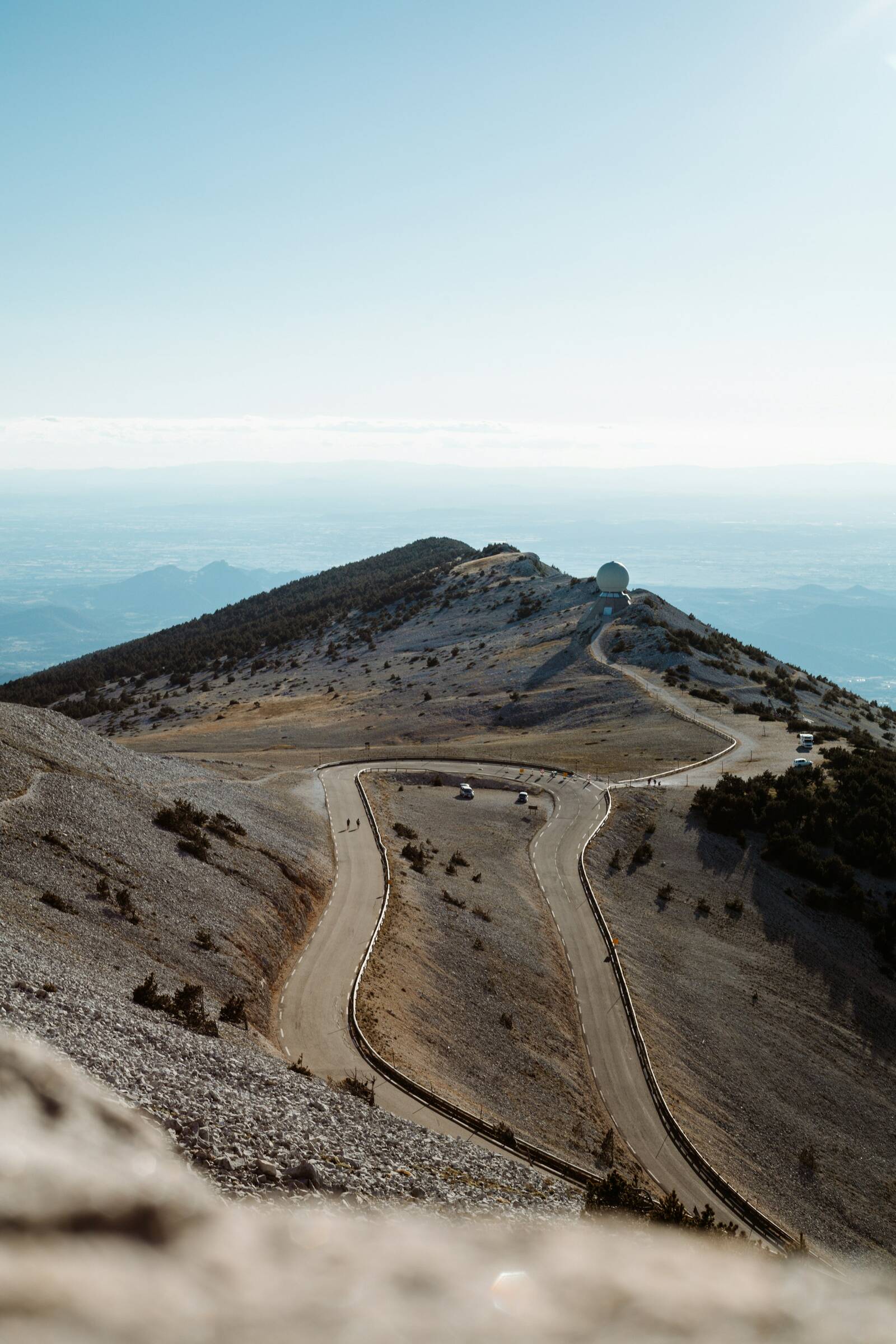
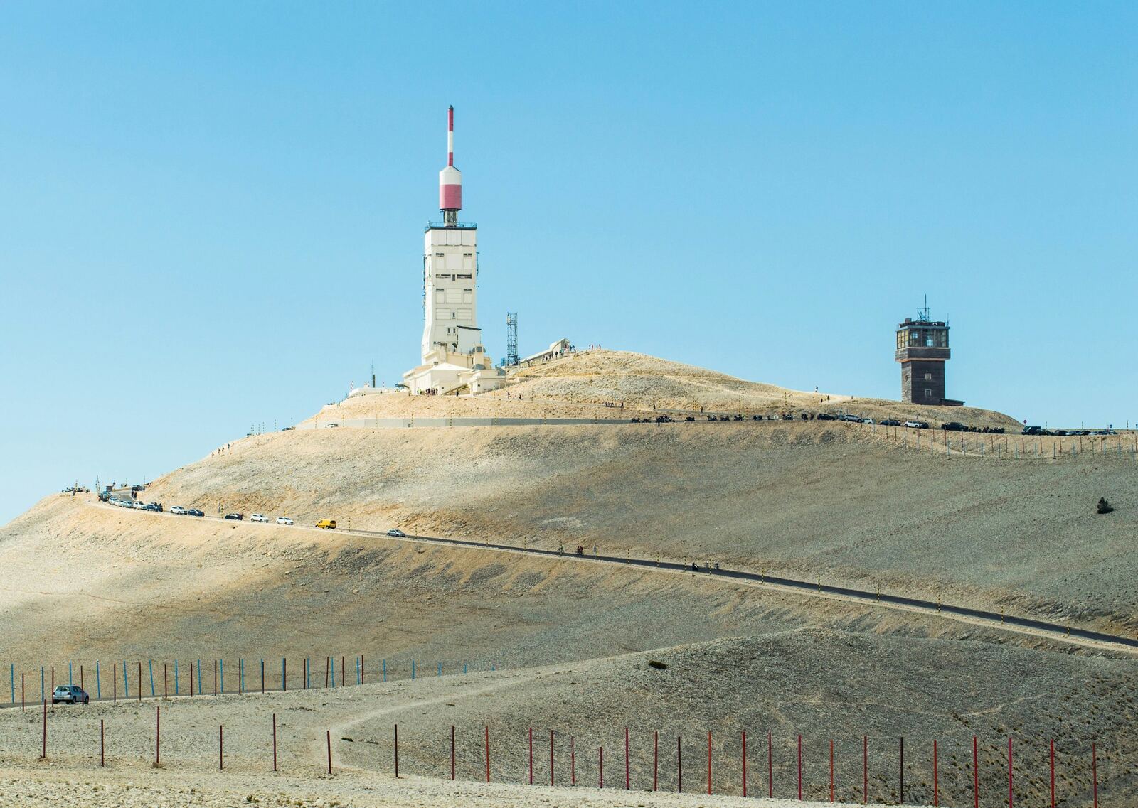
The observatory tower on the summit of Mont Ventoux
Natural site · Bédoin

The summit of Mont Ventoux

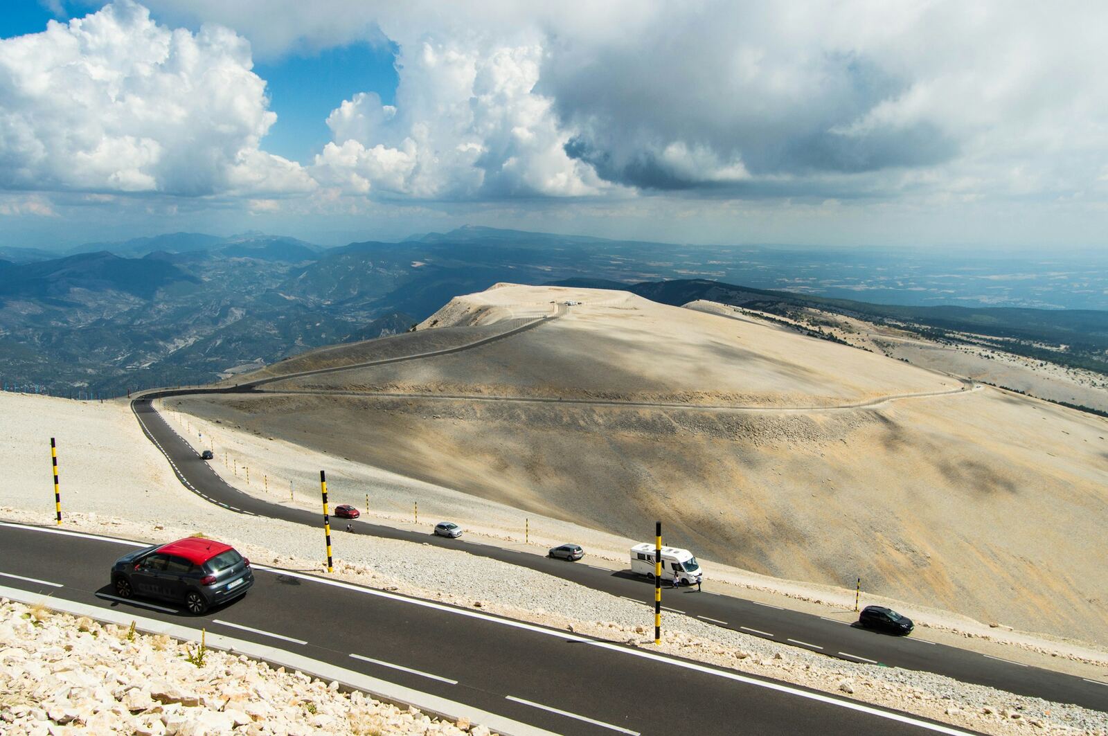
At 1,910 m, the Giant of Provence towers over the whole region. Its summit is a vast scree of white limestone, hence its other nickname, the “Bald Mountain”, topped since 1966 by an observation tower more than 40 m high. On a clear day, the view stretches from the Alps to the Mediterranean. More than 700,000 people go up every year.

The Tour de France finished a stage here on 22 July 2025, and the Tour de France Femmes held the finish of its queen stage here on 7 August 2026. Note: on 18 October 2026, the road is closed from 1pm to 6pm between Chalet Reynard and the Col des Tempêtes.

Practical info. From Bédoin, 21.8 km via the D974. Road closed in winter beyond Chalet Reynard (usually mid-November to mid-April, dates set each year). Bring warm clothing: it is much cooler than down below.
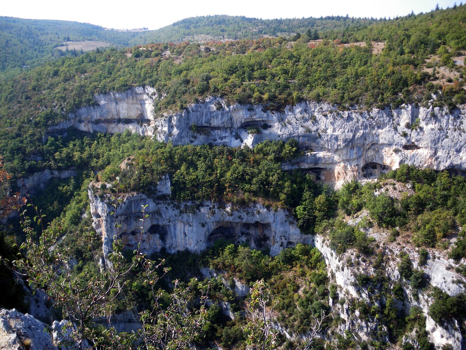
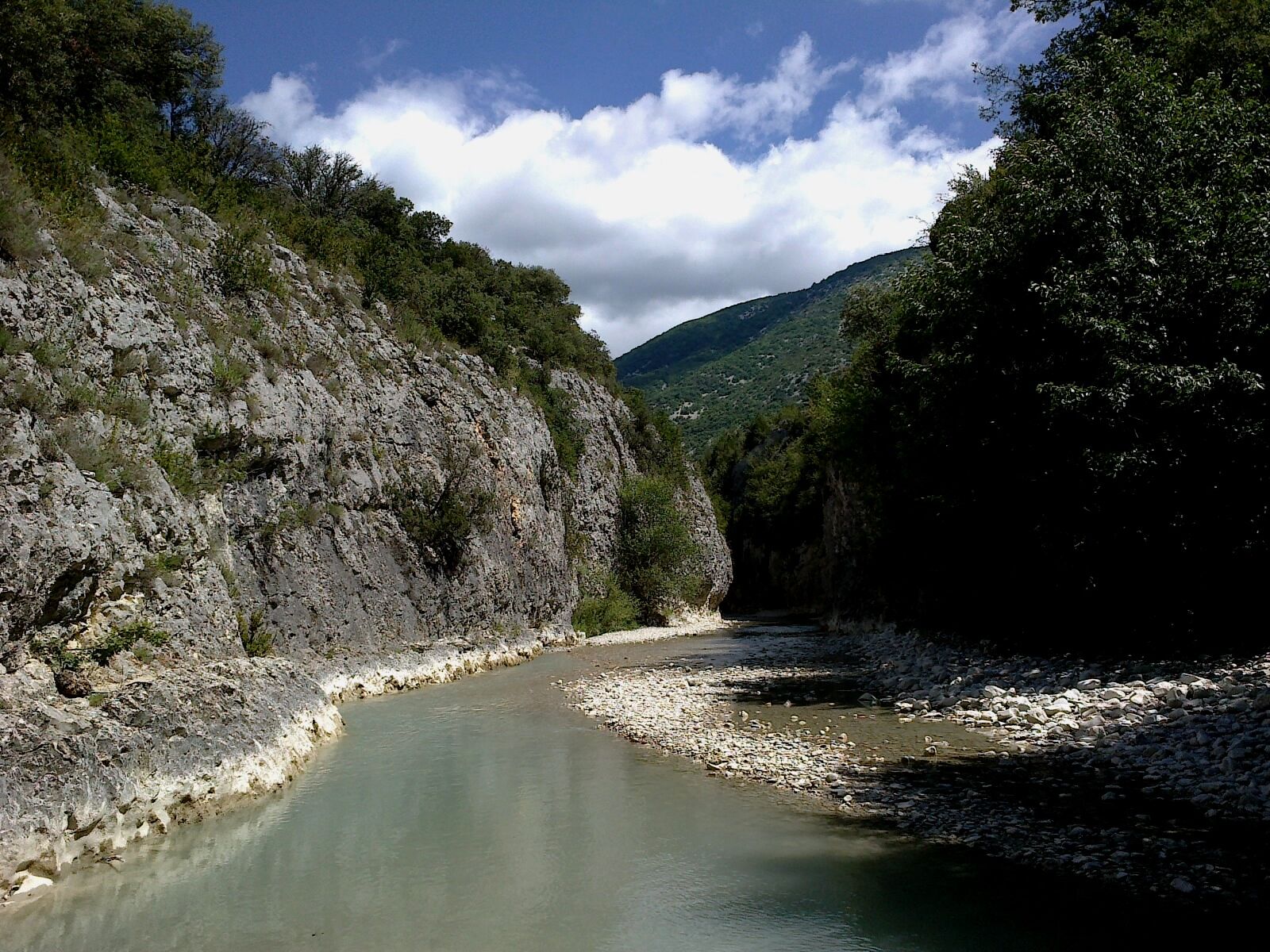
The limestone cliffs of the Nesque gorge
Viewpoint · Villes-sur-Auzon

The Gorges de la Nesque road

Between Villes-sur-Auzon and Monieux, the D942 clings to the cliffside along one of the most spectacular canyons in Provence, with tunnels cut into the rock and sheer drops of around 300 m. At the belvédère du Castelleras viewpoint, you look straight down into the gorge, opposite the Rocher du Cire, named after the swarms of wild bees that once nested there.

Practical info. About 21 km of narrow road with several tunnels: drive slowly, there are lots of cyclists. Picnic area at the viewpoint, about 4 km from Monieux. You can make a loop via Méthamis. Find out more ↗

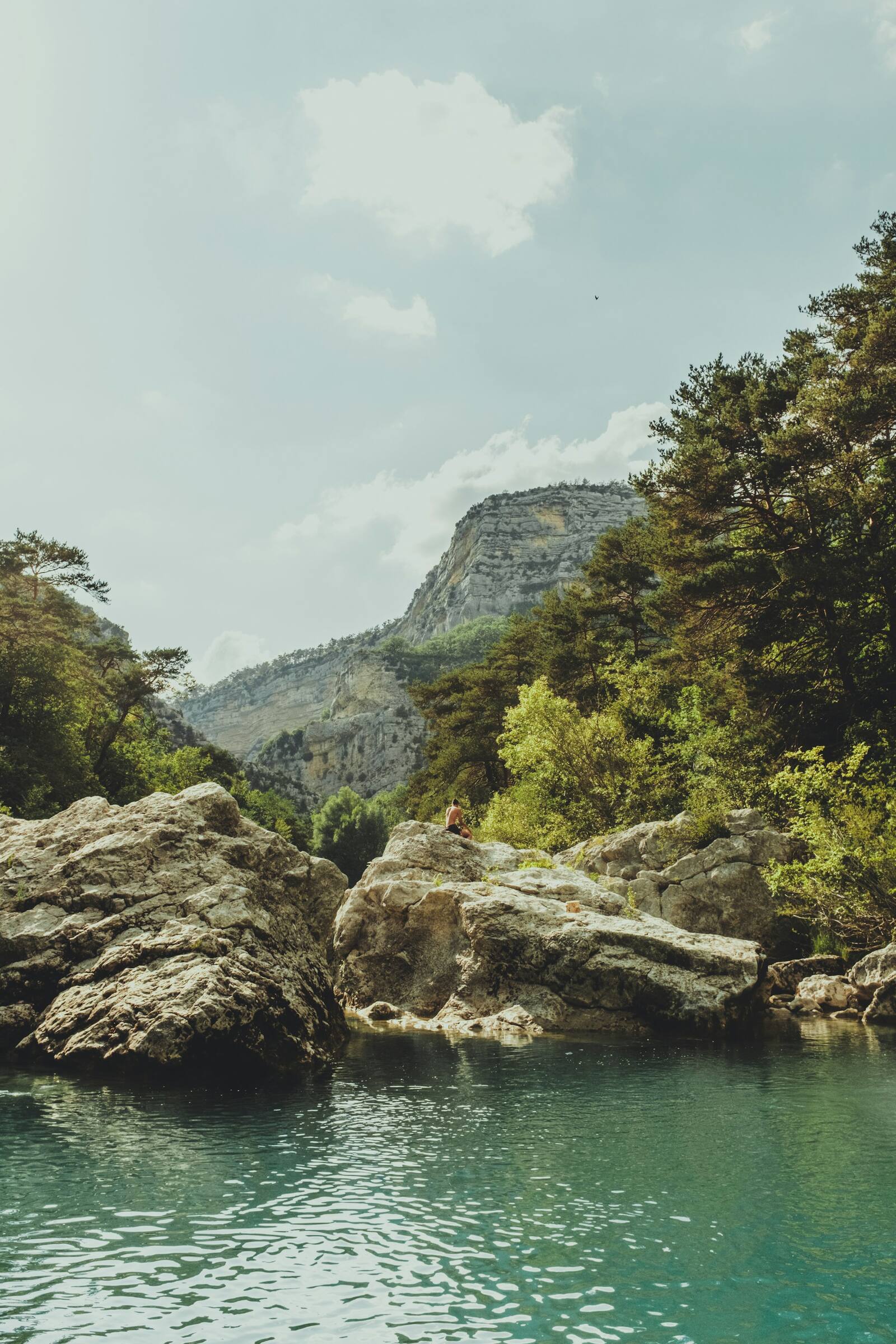
The Toulourenc beneath the cliffs, in the gorge near Veaux
River walk · Malaucène

The Gorges du Toulourenc

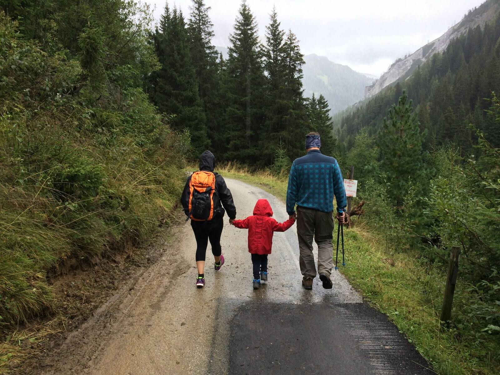
North of Mont Ventoux, the Toulourenc has carved out gorges around a hundred metres high; at the narrowest point, the Estrechon, they are sometimes only 1.50 m wide. In summer, you walk upstream with your feet in the water, between the limestone walls: a refreshing hike that families love.

Practical info. Starts from the car park in the hamlet of Veaux (Malaucène), paid and regulated in summer, often full by mid-morning. Wear closed shoes that can go in the water. Do not go if storms are forecast: the water can rise suddenly. No access during orange or red weather warnings. Find out more ↗

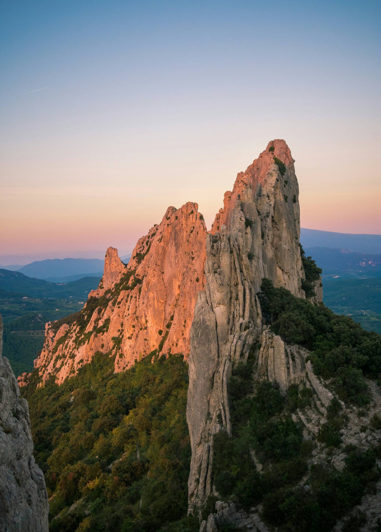
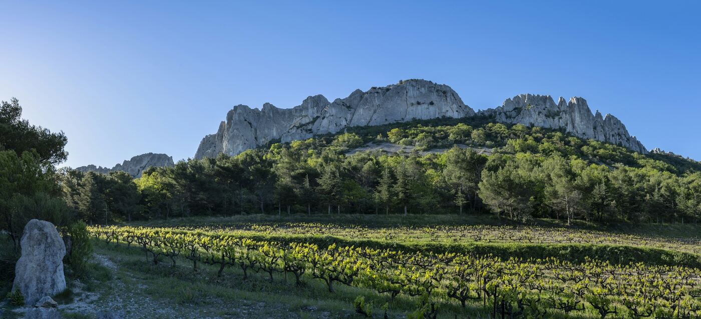
The Dentelles de Montmirail at sunset
Hike · Gigondas

The Dentelles de Montmirail

Facing Mont Ventoux, finely chiselled blades of limestone rise above the vineyards of Gigondas. An easy loop climbs to the Rocher du Midi and its viewpoint indicator, then joins the Col du Cayron at the foot of the cliffs. The rock faces are also a renowned climbing spot.

Practical info. Starts from the centre of Gigondas, about 2 hrs, easy. From 15 June to 15 September the hills may be closed: check the access map the evening before. Find out more ↗

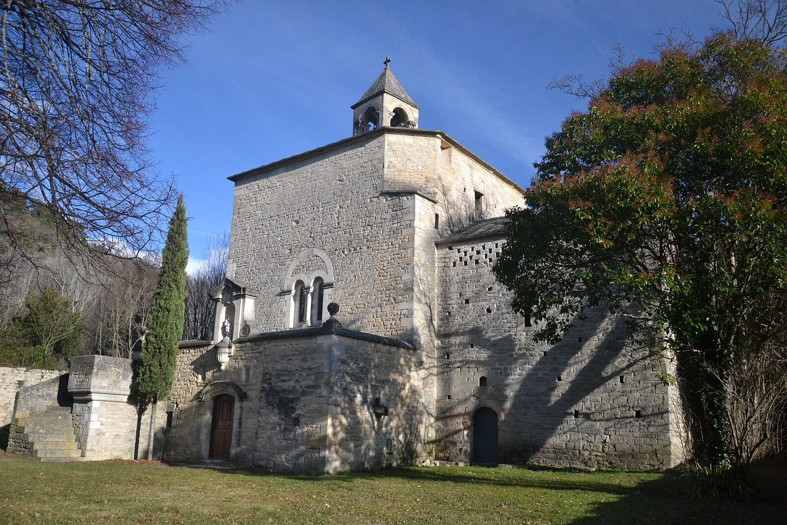
The Romanesque chapel of Notre-Dame-du-Groseau, near Malaucène
Natural site · Malaucène

The Groseau spring and chapel

Just outside Malaucène, on the road up Mont Ventoux, a spring gushes out at the foot of a cliff more than 100 m high: it is the second-largest resurgence in the Vaucluse after Fontaine-de-Vaucluse, tapped by the Romans to supply Vaison-la-Romaine. Close by, the Romanesque chapel of Notre-Dame-du-Groseau was once a summer residence of Pope Clement V.

Practical info. Free access all year, car park and picnic area: a cool spot in summer. The chapel, closed to the public, can be seen from outside. Waymarked 5.4 km loop from the village. Find out more ↗

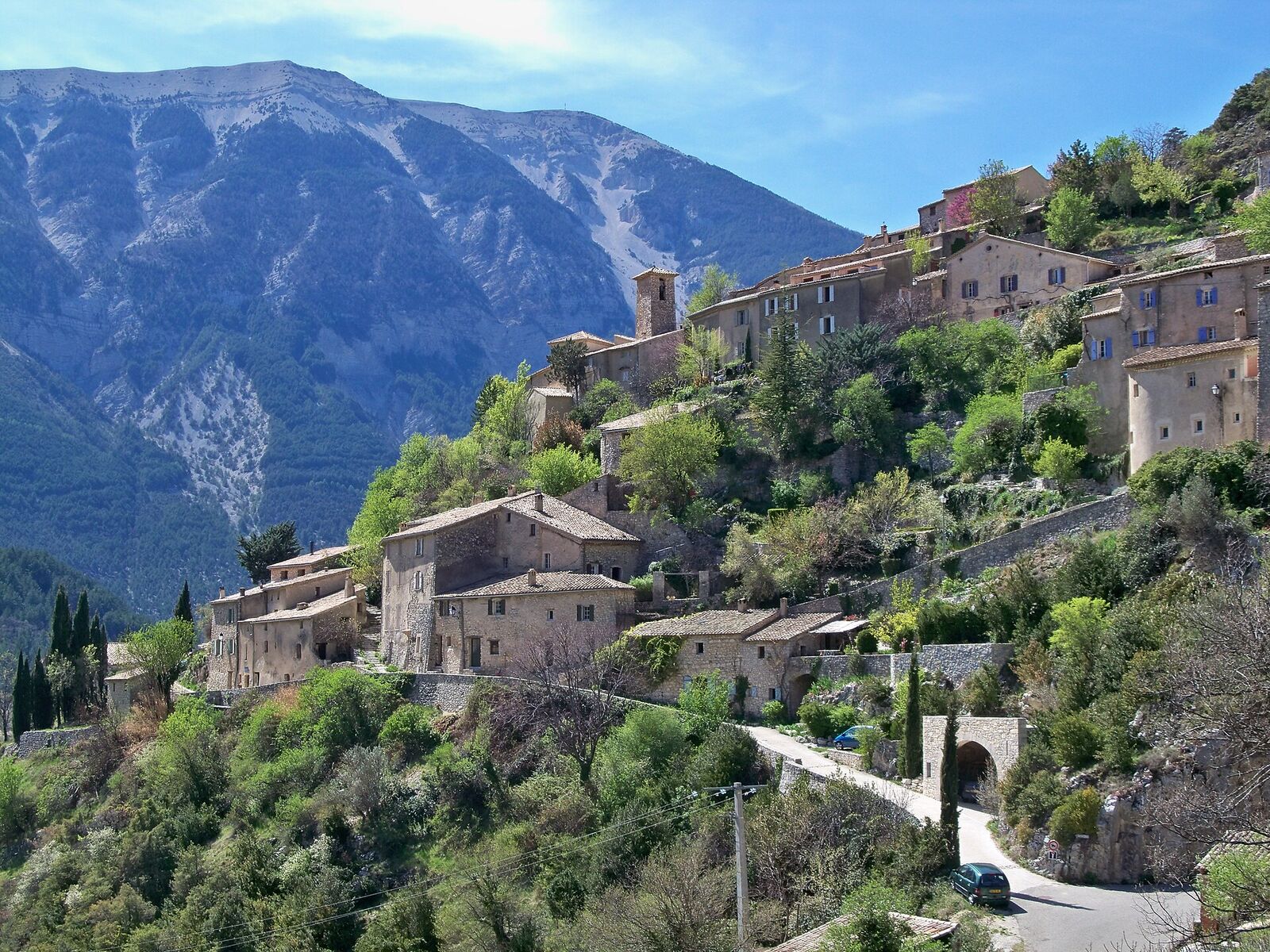
The village of Brantes clinging to the slope, facing the Ventoux
Village · Brantes

Brantes, facing the north face

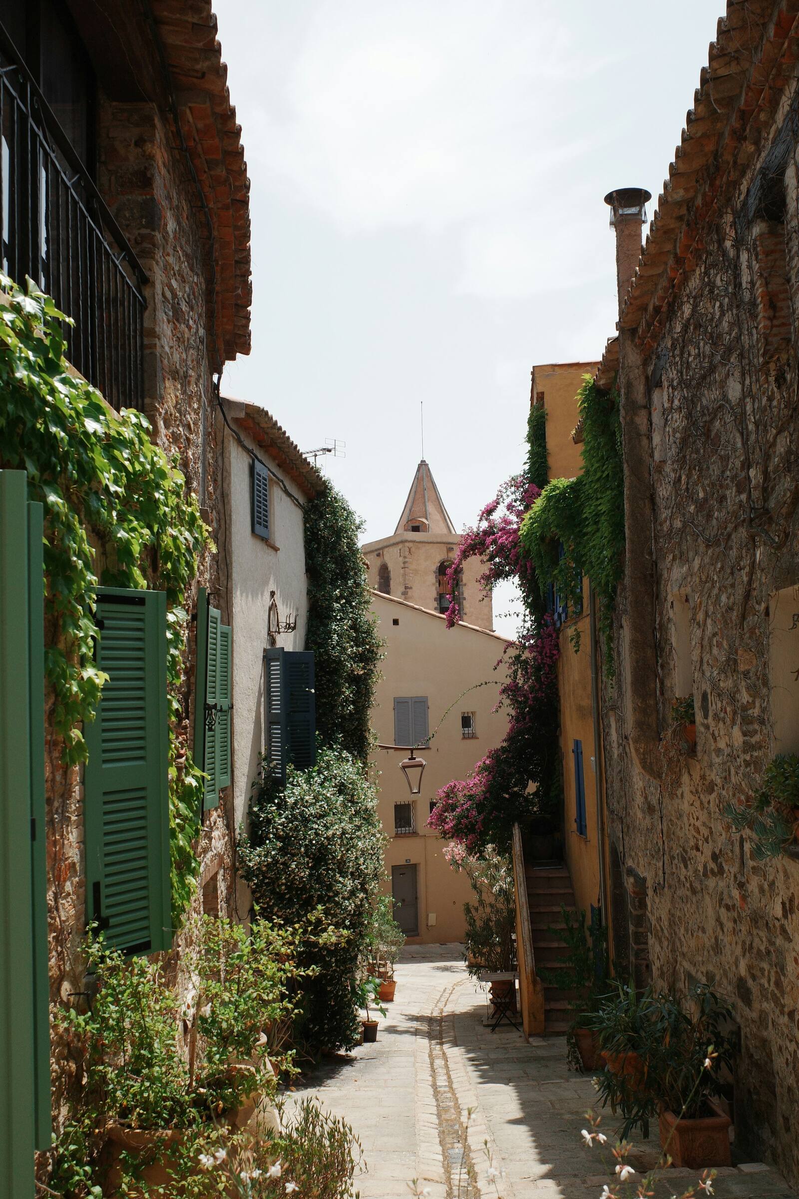
Perched above the Toulourenc valley, this hamlet of barely a hundred inhabitants faces the north side of Mont Ventoux, the steepest. Cobbled lanes, vaulted passageways, a wash house and the ruins of a medieval castle: one of the finest balconies overlooking the Giant.

Practical info. Park at the bottom of the village, then explore on foot. Combine with the Gorges du Toulourenc. Find out more ↗

All the addresses and places are also on the map.