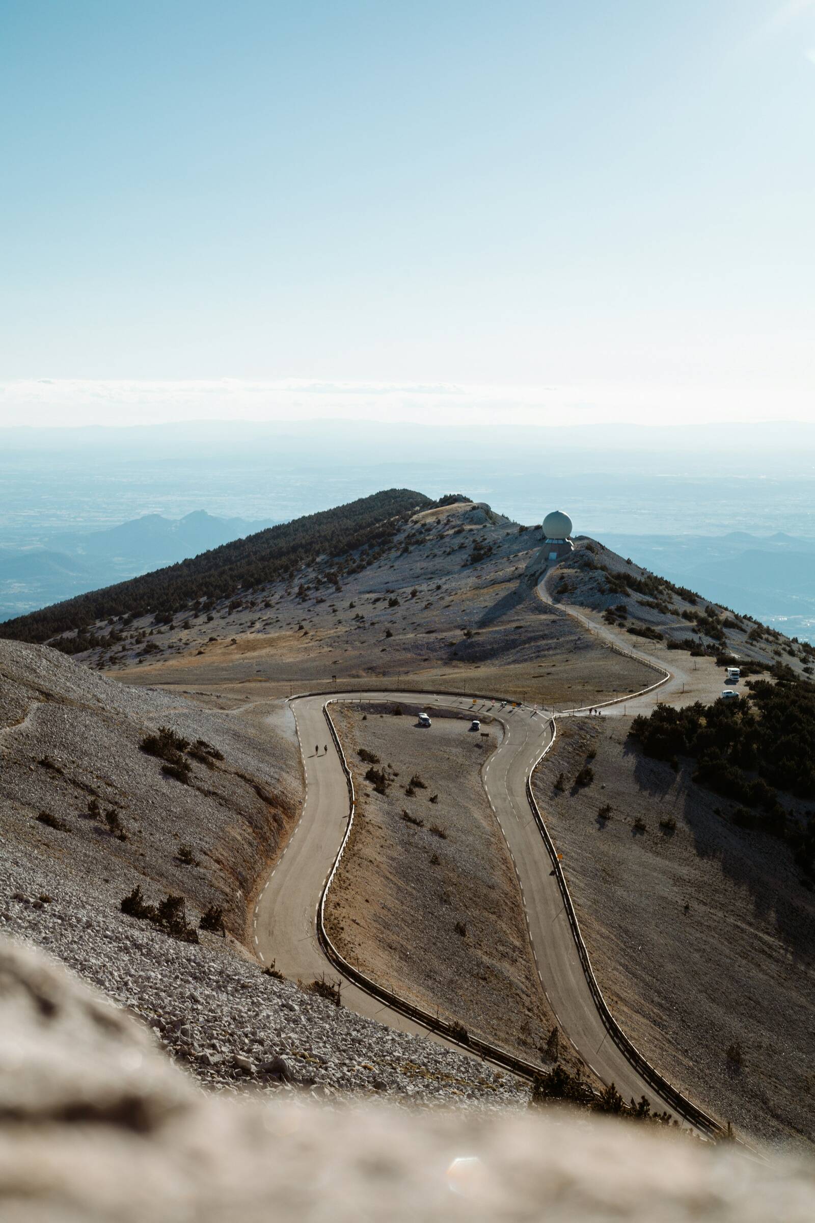
Climbing Mont Ventoux
Three roads, one summit at 1,910 m. Everything you need to choose yours and set off safely.
Photo: Adrien Delforge, Unsplash
The three roads
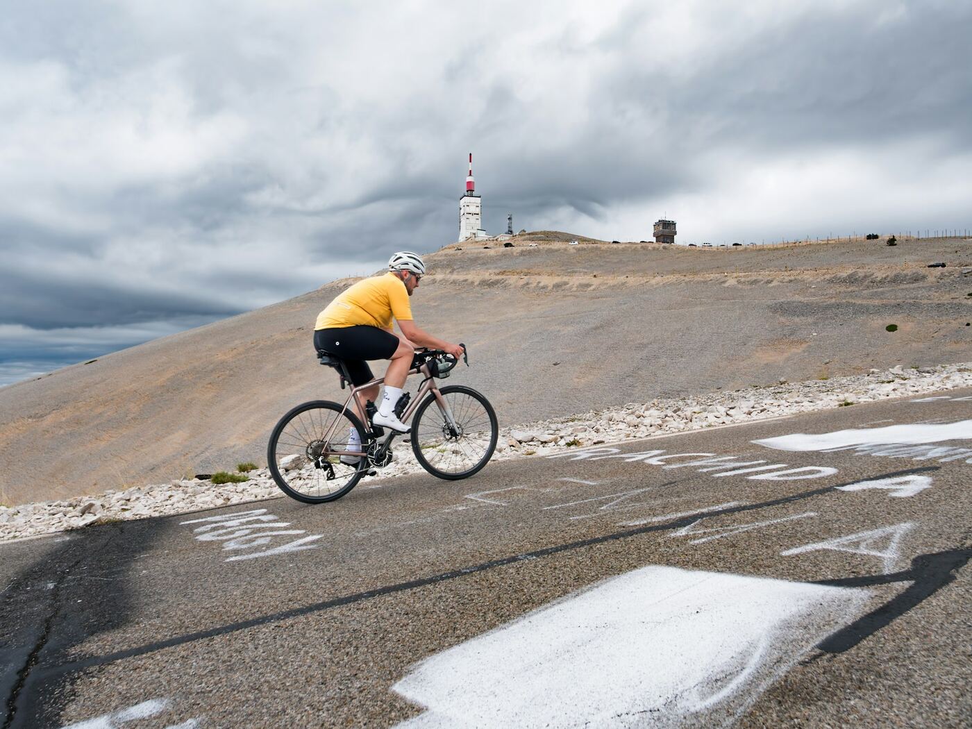
From Bédoin
The legendary climb
- Distance
- 21.8 km
- Elevation gain
- 1 598 m
- Average gradient
- 7,5 %
- Max. gradient
- 15 %
The Tour de France route: a warm-up through the vineyards, then 9.5 km of relentless forest, and finally the lunar landscape of the last 6 kilometres, exposed to the wind.
The full climb →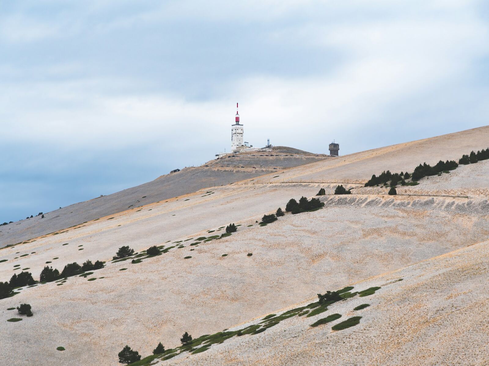
From Malaucène
The most irregular
- Distance
- 21 km
- Elevation gain
- 1 575 m
- Average gradient
- 7,5 %
- Max. gradient
- 15 %
As hard as Bédoin, but up and down: steep ramps alternate with flatter sections. It is the shadiest side lower down, with a bare, twisting finish.
The full climb →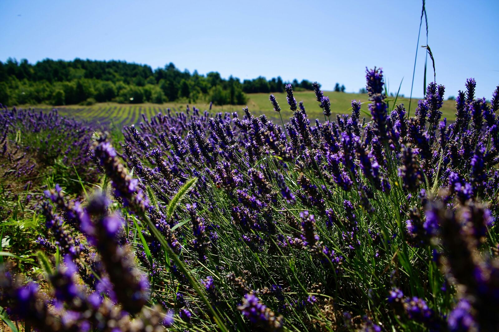
From Sault
The most accessible
- Distance
- 25.6 km
- Elevation gain
- 1 210 m
- Average gradient
- 5 %
- Max. gradient
- 10 %
The longest and gentlest: a lavender plateau, a moderately sloping forest, a long flat stretch, then the last 6 kilometres of the Bédoin route. The best for a first time.
The full climb →Figures from the Département de Vaucluse. GPS readings give slightly different distances and maximum gradients: see each climb.
Which road should you choose?
Bédoin is the legendary climb, the Tour de France one, and the busiest: half of all cyclists ride it. Malaucène is just as hard, but more irregular and shadier. Sault is the gentlest: longer, with a long flat stretch before Chalet Reynard, where it joins the Bédoin road for the last 6 kilometres.
For a first time, choose Sault. For the legend, Bédoin. And for the most seasoned riders, all three in one day: that's the Cinglés challenge.
When to climb?
The summit road is closed in winter, including to bikes: generally from mid-November to mid-April beyond Chalet Reynard (Bédoin and Sault sides), and until mid-May beyond the Mont Serein resort (Malaucène side). Chalet Reynard and Mont Serein remain accessible all year round, with winter equipment compulsory for cars.
The road also closes occasionally for races and car rallies. It's all on our Mont Ventoux today page.
In summer, set off early in the morning or late in the afternoon. Turn back in the event of a storm or strong wind: at the summit, the wind exceeds 90 km/h around 240 days a year.
Our safety tips
- Prepare: this is a real mountain. The Département recommends having ridden regularly beforehand, and talking to your doctor, especially if you are over 35.
- Helmet: compulsory for under-12s, strongly recommended for everyone.
- A warm layer in your pocket: on average it is 13°C colder at the summit than at the bottom.
- Drink: around half a litre of water per hour of effort. Water points are scarce; they are shown for each climb.
- The descent is the most dangerous part: most accidents happen on the way down. Wrap up, leave yourself a margin, ride in single file.
The Cinglés du Ventoux challenge
Climbing all three roads in under 24 hours makes you a “Cinglé du Mont Ventoux”. To have your feat officially recognised, register with the club in advance, get your route card stamped at the bottom of each climb and at the summit, then send it back: a medal awaits you.
Registration and rules: Club des Cinglés du Mont Ventoux ↗
Mont Ventoux without a bike
On foot
From Chalet Reynard, on the GR4: around 11 km there and back, 550 m of elevation gain, 4 hr 30 min. The simplest way to reach the summit on foot.
From Mont Serein: 4.3 km, 490 m of elevation gain, 1 hr 50 min one way.
From Bédoin (hamlet of Sainte-Colombe): 10.6 km and almost 1,500 m of elevation gain one way, 4 hr 30 min to 5 hr. A proper day in the mountains.
By car
Three roads, three different moods: the loop Malaucène, summit, Sault and Bédoin is around 78 km. At the summit, parking is free; the viewing area is reserved for pedestrians and cyclists, about ten minutes' walk away.
In summer, avoid the 11am – 4pm slot: the summit car parks are often full. Their occupancy is shown live on our Mont Ventoux today page.
Drive up slowly: you share the road with hundreds of cyclists.
And at the summit?
The south road was built from 1882 onwards for the weather observatory, in service from 1885 to 1968. The large tower, topped with an antenna, dominates the viewing area; it is not open to visitors. Just below, the Chapelle Sainte-Croix is the highest chapel in the Vaucluse. On a clear day, the view stretches from the Alps to the Mediterranean, across the whole Rhône valley.
Hire a bike, ride with a guide
- Website ↗
Albion Cycles
Bike hire · Sault
455 route de Saint-Trinit
Hire, repairs, transport; 7 days a week in season, April to October.
Accueil Vélo
- Website ↗
Bédoin Location
Bike hire · Bédoin
20 route de Malaucène
Road, e-bike, mountain bike, tandem; workshop and shuttle for the descent. April to November, closed on Tuesdays.
Accueil Vélo
- Website ↗
E-Magine
Bike hire · Villes-sur-Auzon
110 Chemin de Malpertuis
E-bike hire, guided rides by swincar and e-scooter.
- Website ↗
Mont Ventoux Cycling
Bike hire · Mormoiron
Bike shop: sales, hire and servicing of all brands.
- Website ↗
Mont Ventoux Road Captain
Cycling guide · Bédoin
Qualified guide for the Ventoux climbs and the local cols, in French, English and German.
- Website ↗
Provence Cycles
Bike hire · Malaucène
Cours des Isnards
Sales, hire and repairs: road, electric, hybrid. Tuesday to Saturday.
- Website ↗
Ride Ventoux
Bike hire · Sault
10 avenue de la Promenade
Bike hire and shop. Mid-March to mid-December.
- Website ↗
Rêve de Vélo Ventoux
Bike hire · Bédoin
57 route du Mont-Ventoux
At km 0 of the climb: road, e-bikes, mountain bikes, gravel; shop and workshop. Open almost all year round.
Accueil Vélo
- Website ↗
Tip Top Bike Tours
Guided bike rides · Bédoin
Guided e-bike rides, including a route through the vineyards.
- Website ↗
Ventoux Bikes
Bike hire · Malaucène
Bike hire from a team with a background in racing and sports coaching.
- Website ↗
Ventoux Expérience
Bike hire · Bédoin
64 rue de l'Abbé Durand
Road, e-bike, gravel, mountain bike; workshop for all brands. April to September, 7 days a week.
- Website ↗
Vélo Vaucluse Découverte
Guided bike rides · Malaucène
3 place de la Mairie
Guided bike rides around Malaucène.
For those coming along
While the cyclist climbs, Chalet Reynard and its terrace make a good meeting point. From there, the ridge loop can be done on foot. And in Bédoin, the Monday market and the wine cellars make for a pleasant morning.