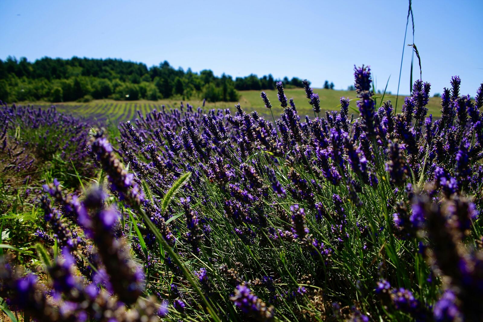
Mont Ventoux from Sault
The longest and gentlest: a lavender plateau, a moderately sloping forest, a long flat stretch, then the last 6 kilometres of the Bédoin route. The best for a first time.
Photo: Bo Zhang, Unsplash
- Distance
- 25.6 km
- Elevation gain
- 1 210 m
- Average gradient
- 5 %
- Max. gradient
- 10 %
Figures from the Département de Vaucluse. The real average is more like 4.5 to 4.7%, and the last 6 kilometres, shared with Bédoin, exceed 10% in places.
Start: Sault, 757 m. Road: D164 then D974.
The road joins the Bédoin road at Chalet Reynard: beyond that point, it is generally open from mid-April to mid-November. In 2026, it reopened on 17 April.
- under 4%
- 4 à 6 %
- 6 à 8 %
- 8 à 10 %
- 10% and over
The route
Our terrain calculations
- 26.24 km from Sault to the top of the road
- 1,219 m of elevation gain
- 4.3% average gradient
- Hardest kilometre: km 25 → 26, 10.5%
Route © OpenStreetMap contributors; elevations EU-DEM (Copernicus). Estimates within ±1% of the markers.
- under 4%
- 4 à 6 %
- 6 à 8 %
- 8 à 10 %
- 10% and over
The climb, section by section
- km 0 → 7.9≈ 4.5%
The plateau
A short descent to the bridge at the Fontaine Bayard, then a steady climb across the plateau and its lavender fields. Exposed to wind and heat.
- km 7.9 → 12≈ 6%
The forest
At the Chapelle du Ventouret, at around 1,000 m, the road enters the forest. A short stretch at 8%, then the gradient eases.
- km 12 → 19.4≈ 2 to 3%
The flat stretch
Almost flat all the way to Chalet Reynard: viewpoint indicator at km 13.6 overlooking the Combe de Font de Margot, then the Belvédère. Make the most of it to drink and eat.
- km 19.4 → 25.6≈ 7.7%
The Bédoin finale
At Chalet Reynard, you join the Bédoin road for the last 6 kilometres, bare and windswept: this is where the climb is won or lost.
Landmarks
| km | Landmark |
|---|---|
| 1 1,1 | Pont de la fontaine Bayard — Lowest point (695 m). |
| 2 7,9 | Chapelle du Ventouret — Into the forest (≈ 1,000 m). |
| 3 13,6 | Viewpoint indicator — View over the Combe de Font de Margot (1,291 m). |
| 4 19,4 | Chalet Reynard — Junction with the Bédoin road, water (1,417 m). |
| 5 25,6 | Summit — Top of the road at 1,897 m. |
Approximate kilometres (≈) where sources differ: rely on the cycling markers placed all along the road.
Practical info
Parking
Chemin des Amandiers or Place des Aires, in Sault.
Water
Fountain at the Sault tourist office, then nothing for about 20 km: set off with two full bottles. After that, Chalet Reynard and the Fontaine de la Grave.
Food and drink
Chalet Reynard, then Le Vendran at the summit when the road is open.
Climbing time
From 1 hr 30 min to 3 hr 30 min according to the Département.
Where to stay at the foot of the climb
- Website ↗
Camping Ushuaïa Village Provence Ventoux
Campsite · Sault
1584 route de Saint-Trinit
April to September.
Accueil Vélo
- Website ↗
Domaine du Val de Sault
Hotel & restaurant · Sault
1167 Ancien chemin d'Aurel
20 quiet rooms; restaurant in the evening, closed on Sundays. Mid-April to mid-October.
Accueil Vélo
- Website ↗
La Bastide des Bourguets
B&B (chambre d'hôtes) · Sault
Route des Gorges de la Nesque
Four B&B rooms and several holiday cottages, on the road to the Nesque gorge and in the hamlet of La Loge. Open all year.
Accueil VéloGîtes de FranceChambre d'hôtes référence3 épis
- Website ↗
La Maguette
Restaurant and B&B · Sault
Route de Javon
Farm restaurant (weekend lunchtimes) and two B&B rooms, in the hamlet of Saint-Jean. Open all year.
Accueil VéloBienvenue à la ferme
- Website ↗
Le Belvue
Hotel · Sault
4 Place du Château
11 rooms. Mid-March to mid-October.
Accueil Vélo
- Website ↗
Le Nesk
Hotel & restaurant · Sault
3 rue Belle-Vue
23 rooms in the old village, with a wellness area. Mid-April to November.
Accueil Vélo
- Website ↗
Pilpoil
B&B (chambre d'hôtes) · Sault
Rue du Barda
Five B&B rooms and a lodge. May to October.
Accueil Vélo
Hire a bike, ride with a guide
- Website ↗
Albion Cycles
Bike hire · Sault
455 route de Saint-Trinit
Hire, repairs, transport; 7 days a week in season, April to October.
Accueil Vélo
- Website ↗
Ride Ventoux
Bike hire · Sault
10 avenue de la Promenade
Bike hire and shop. Mid-March to mid-December.
All the addresses: Where to stay · Sault
The other roads
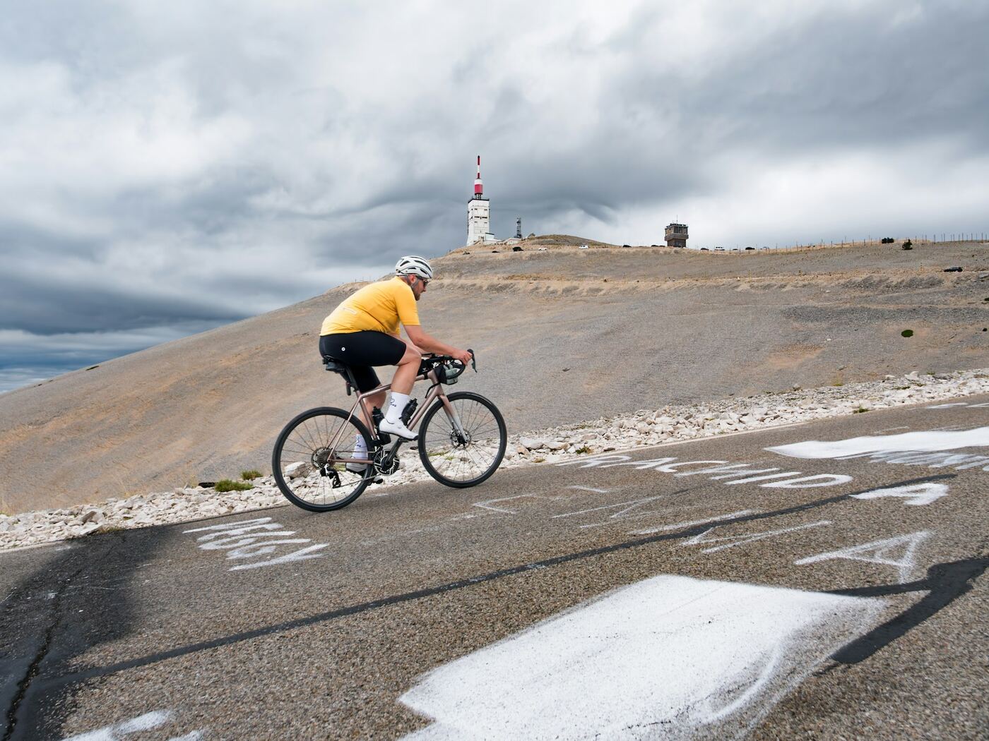
From Bédoin
The Tour de France route: a warm-up through the vineyards, then 9.5 km of relentless forest, and finally the lunar landscape of the last 6 kilometres, exposed to the wind.
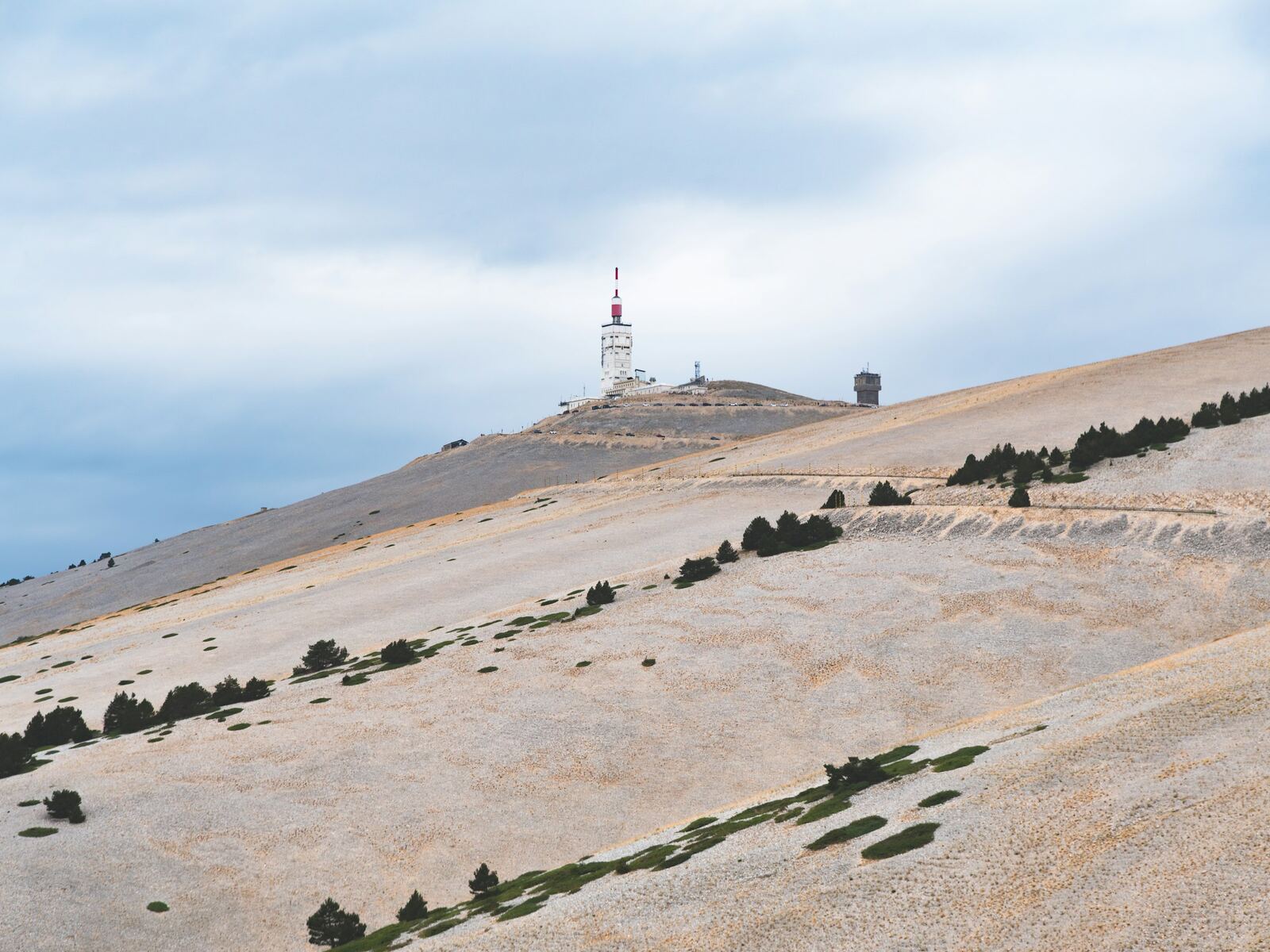
From Malaucène
As hard as Bédoin, but up and down: steep ramps alternate with flatter sections. It is the shadiest side lower down, with a bare, twisting finish.
Checked on 29/09/2026. Sources: vaucluse.fr · fr.wikipedia.org · provence-a-velo.fr · ventouxprovence.fr.