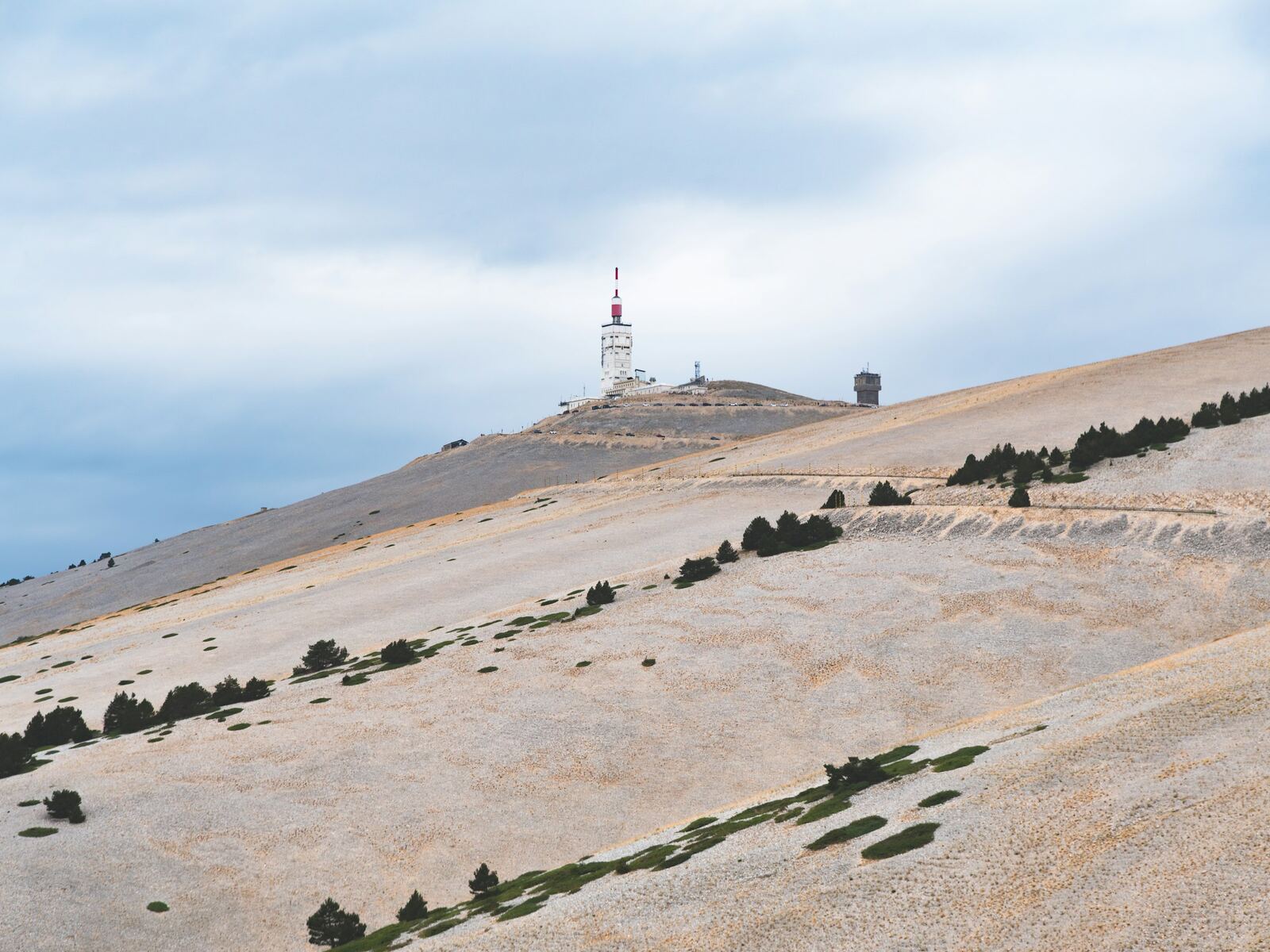
Mont Ventoux from Malaucène
As hard as Bédoin, but up and down: steep ramps alternate with flatter sections. It is the shadiest side lower down, with a bare, twisting finish.
Photo: Krzysztof Kowalik, Unsplash
- Distance
- 21 km
- Elevation gain
- 1 575 m
- Average gradient
- 7,5 %
- Max. gradient
- 15 %
Figures from the Département de Vaucluse. GPS readings give around 21 km and a maximum gradient of 12 to 13%.
Start: Malaucène, 329 m (junction of the D938 and the D974). Road: D974.
Beyond the Mont Serein resort, the summit road is generally open from mid-May to mid-November. In 2026, it reopened on 13 May.
- under 4%
- 4 à 6 %
- 6 à 8 %
- 8 à 10 %
- 10% and over
The route
Our terrain calculations
- 21.09 km from Malaucène to the top of the road
- 1,555 m of elevation gain
- 7.4% average gradient
- Hardest kilometre: km 10 → 11, 11.0%
Route © OpenStreetMap contributors; elevations EU-DEM (Copernicus). Estimates within ±1% of the markers.
- under 4%
- 4 à 6 %
- 6 à 8 %
- 8 à 10 %
- 10% and over
The climb, section by section
- km 0 → 4.5≈ 7.6%
The Groseau
You pass the Groseau spring at around km 1.6, then the road rears up with ramps of 8.5 to 11%.
- km 4.5 → 9.7≈ 6%
The breather
A faster-rolling section, between 3.5 and 7%, with two short stretches at 10%, up to the Belvédère des Ramayettes (972 m).
- km 9.7 → 15.2≈ 8.4%
The key section
Before Mont Serein, around 3.5 km at about 10%, with peaks of 12 and 13%: this is the heart of the climb. You arrive at the Mont Serein resort (1,432 m).
- km 15.2 → 21≈ 7.9%
The hairpins
Above the resort, the road leaves the trees and zigzags up the bare slopes. The last 3 kilometres are at 8 or 9%.
Landmarks
| km | Landmark |
|---|---|
| 1 ≈ 1,6 | Source du Groseau — Water (399 m). |
| 2 4,5 | Small lay-by — End of the first ramp (669 m). |
| 3 9,7 | Belvédère des Ramayettes — Forest lodge and viewpoint (972 m). |
| 4 15,2 | Mont Serein — Resort, Chalet Liotard, water (1,432 m). |
| 5 21 | Summit — Top of the road at 1,897 m. |
Approximate kilometres (≈) where sources differ: rely on the cycling markers placed all along the road.
Practical info
Parking
Parking de la Poste in Malaucène; free parking in the village centre.
Water
Village fountain, Groseau spring, Mont Serein resort.
Food and drink
Chalet Liotard and the Mont Serein resort restaurant.
Climbing time
From 1 hr 30 min to 3 hr 30 min according to the Département.
Where to stay at the foot of the climb
- Website ↗
Aux Tournesols
B&B (chambre d'hôtes) · Malaucène
Quartier Coumpara
Three rooms and three holiday cottages.
Accueil Vélo
- Website ↗
Clos Saint Michel Resort & Spa
B&B (chambre d'hôtes) · Malaucène
Chemin de Clairier
Suites and lodges with a spa: hammam, sauna, Nordic bath, hot tub. Open all year.
Accueil VéloClef Verte
- Website ↗
Hôtel Ventoux Provence – Domaine des Tilleuls
Hotel & restaurant · Malaucène
7 avenue Pétrarque, route du Mont-Ventoux
24 rooms, at the start of the climb. La Magnanerie restaurant, May to October.
Accueil Vélo
- Website ↗
Le Gîte de Claire
Lodge (gîte d'étape) · Malaucène
Quartier des Crottes
A hikers' and cyclists' lodge at the foot of the Ventoux, with large grounds.
Accueil VéloGîtes de France2 épis
- Website ↗
Le Prieuré La Madelène
B&B (chambre d'hôtes) · Malaucène
Chemin de la Madeleine
A former 12th-century priory among orchards: five rooms and a holiday cottage. Late January to late November.
Accueil VéloChambre d'hôtes référence
- Website ↗
Les Mazets du Ventoux (Garden City)
Holiday residence · Malaucène
412 route de Carpentras
Aparthotel.
Accueil Vélo
- Website ↗
Mythic Ventoux
Holiday rental · Malaucène
Au village
A large house for twelve people, April to October.
Accueil Vélo
- Website ↗
Résidence Arts et Vie
Holiday residence · Malaucène
54 chemin du Lignol
Apartments by the week, from late March to early November.
Accueil VéloClef Verte
Hire a bike, ride with a guide
- Website ↗
Provence Cycles
Bike hire · Malaucène
Cours des Isnards
Sales, hire and repairs: road, electric, hybrid. Tuesday to Saturday.
- Website ↗
Ventoux Bikes
Bike hire · Malaucène
Bike hire from a team with a background in racing and sports coaching.
- Website ↗
Vélo Vaucluse Découverte
Guided bike rides · Malaucène
3 place de la Mairie
Guided bike rides around Malaucène.
All the addresses: Where to stay · Malaucène
The other roads
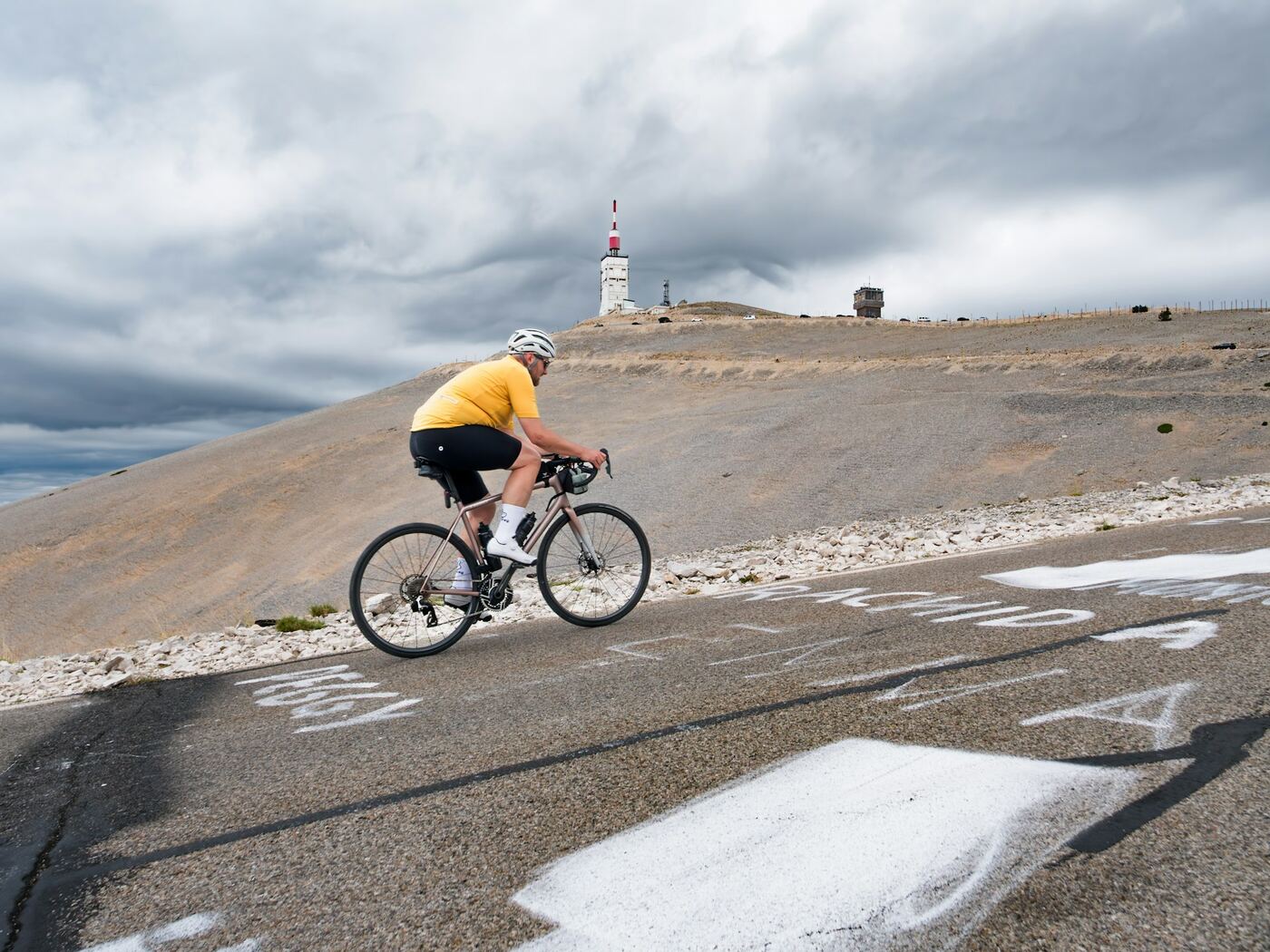
From Bédoin
The Tour de France route: a warm-up through the vineyards, then 9.5 km of relentless forest, and finally the lunar landscape of the last 6 kilometres, exposed to the wind.
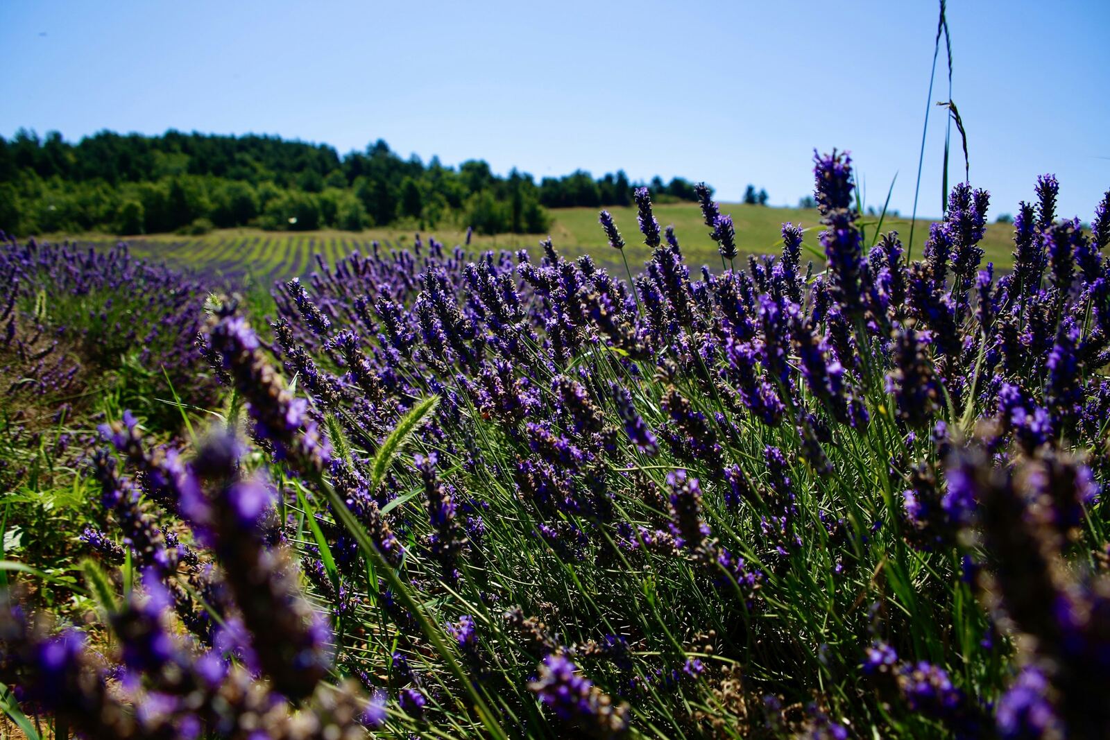
From Sault
The longest and gentlest: a lavender plateau, a moderately sloping forest, a long flat stretch, then the last 6 kilometres of the Bédoin route. The best for a first time.
Checked on 29/09/2026. Sources: vaucluse.fr · fr.wikipedia.org · provence-a-velo.fr · ventouxprovence.fr.