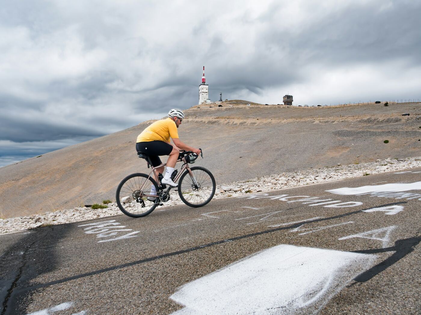
Mont Ventoux from Bédoin
The Tour de France route: a warm-up through the vineyards, then 9.5 km of relentless forest, and finally the lunar landscape of the last 6 kilometres, exposed to the wind.
Photo: Krzysztof Kowalik, Unsplash
- Distance
- 21.8 km
- Elevation gain
- 1 598 m
- Average gradient
- 7,5 %
- Max. gradient
- 15 %
Figures from the Département de Vaucluse. GPS readings tend to give 21.4 km to the top of the road and a maximum gradient of 12 to 13%: the difference comes from the starting point and the way it is measured.
Start: Bédoin, 309 m (roundabout of the D19 and the D974). Road: D974.
Beyond Chalet Reynard, the summit road is generally open from mid-April to mid-November. In 2026, it reopened on 17 April.
- under 4%
- 4 à 6 %
- 6 à 8 %
- 8 à 10 %
- 10% and over
The route
Our terrain calculations
- 21.38 km from Bédoin to the top of the road
- 1,576 m of elevation gain
- 7.4% average gradient
- Hardest kilometre: km 6 → 7, 11.8%
Route © OpenStreetMap contributors; elevations EU-DEM (Copernicus). Estimates within ±1% of the markers.
- under 4%
- 4 à 6 %
- 6 à 8 %
- 8 à 10 %
- 10% and over
The climb, section by section
- km 0 → 5.7≈ 4%
The vineyards
From Bédoin to the Saint-Estève bend, via the hamlet of Sainte-Colombe. The road climbs gently between vineyards and orchards: this is the warm-up, so don't set off too fast.
- km 5.7 → 15.2≈ 9%
The forest
At the Saint-Estève bend, the gradient suddenly steepens and never lets up: 9.5 km averaging over 9%, with stretches above 10%. The forest shelters you from the sun. At km 10.4, the Virage du Bois is the only place where you can glimpse the summit.
- km 15.2 → 21.4≈ 7.7%
The Bald Mountain
At Chalet Reynard, the forest ends and the landscape turns to bare rock. The slopes are slightly less steep but the road is exposed to wind and sun. You pass the Fontaine de la Grave, the Tom Simpson memorial, then the Col des Tempêtes, where the wind blows hardest, before the final hairpins.
Landmarks
| km | Landmark |
|---|---|
| 1 ≈ 3 | Sainte-Colombe — Hamlet, in the middle of the vineyards. |
| 2 5,7 | Virage de Saint-Estève — Into the forest: the gradient steepens (541 m). |
| 3 10,4 | Virage du Bois — The only view of the summit from the forest (991 m). |
| 4 15,2 | Chalet Reynard — Out of the forest, bar-restaurant, water (1,417 m). |
| 5 ≈ 16,7 | Fontaine de la Grave — Sometimes dry in summer (1,516 m). |
| 6 ≈ 20 | Tom Simpson memorial — Tribute to the champion who died here in 1967. |
| 7 ≈ 20,5 | Col des Tempêtes — The windiest section (1,829 m). |
| 8 21,4 | Summit — Top of the road at 1,897 m, summit at 1,910 m. |
Approximate kilometres (≈) where sources differ: rely on the cycling markers placed all along the road.
Practical info
Parking
The Département recommends parking in Bédoin, along the D974 towards Chalet Reynard.
Water
Fountain at the Bédoin tourist office, water point at Chalet Reynard (to the left of the chalet as you climb), Fontaine de la Grave. The latter can be dry in summer: fill your bottles at Chalet Reynard.
Food and drink
Chalet Reynard halfway up. At the summit, Le Vendran serves at the counter when the road is open.
Climbing time
From 1 hr 30 min to 3 hr 30 min according to the Département. The record: 55 min 51 s, by Iban Mayo in 2004.
Where to stay at the foot of the climb
- Website ↗
Camping Le Pastory
Campsite · Bédoin
1105 route de Malaucène
Mid-April to October.
Accueil Vélo4 stars
- Website ↗
Chez Monique & sa Fille
B&B (chambre d'hôtes) · Bédoin
Route de Malaucène
Rooms and holiday cottage, April to mid-October.
Accueil VéloClévacances
- Website ↗
Gîtes La Belle Histoire Ventoux
Holiday cottage (gîte) · Bédoin
Three holiday cottages.
Accueil Vélo3 stars
- Website ↗
Hôtel La Garance
Hotel · Bédoin
Hameau de Sainte-Colombe, route du Mont-Ventoux
Late March to late October.
Accueil Vélo3 stars
- Website ↗
Le Flandrien
Cycling bar and rooms · Bédoin
29 route du Mont-Ventoux
Belgian bar-bistro for cyclists, at the foot of the climb. Closed Wednesday and Thursday.
- Website ↗
Ventoux Cocoon
B&B (chambre d'hôtes) · Bédoin
Chemin la Grand Côte
B&B rooms and holiday cottage, open all year.
Accueil VéloGîtes de France
Hire a bike, ride with a guide
- Website ↗
Bike park du Chalet Reynard
Bike park · Bédoin
Chalet Reynard, route du Mont-Ventoux
Downhill mountain biking: three trails and a drag lift. In summer.
- Website ↗
Bédoin Location
Bike hire · Bédoin
20 route de Malaucène
Road, e-bike, mountain bike, tandem; workshop and shuttle for the descent. April to November, closed on Tuesdays.
Accueil Vélo
- Website ↗
Café du Cycliste Ventoux
Cycling café · Bédoin
286 route du Mont-Ventoux
Shop and coffee bar, showers and left-luggage for cyclists. April to autumn, closed on Tuesdays.
Le Chalet Reynard
Restaurant · Bédoin
Route du Mont-Ventoux, à 1 417 m
The cyclists' stop, 6 km below the summit. Open all year round.
Le Vendran
Restaurant · Bédoin
Au sommet du mont Ventoux
Counter-service snacks, when the summit road is open.
- Website ↗
Les Vignerons du Mont Ventoux
Wine cooperative · Bédoin
620 route de Carpentras
Free tasting, walks in the vineyards, olive oil. Open all year, Monday to Saturday.
Vignobles & DécouvertesAccueil Vélo
- Website ↗
Mont Ventoux Road Captain
Cycling guide · Bédoin
Qualified guide for the Ventoux climbs and the local cols, in French, English and German.
- Website ↗
Pista Cycling Café
Cycling café · Bédoin
79 chemin de la Ferraille
Homemade brunch. Wednesday to Sunday.
- Website ↗
Rêve de Vélo Ventoux
Bike hire · Bédoin
57 route du Mont-Ventoux
At km 0 of the climb: road, e-bikes, mountain bikes, gravel; shop and workshop. Open almost all year round.
Accueil Vélo
- Website ↗
Sport-Photo Ventoux
Climb photos · Bédoin
Photographers stationed along the Bédoin road; photos available online. April to October.
- Website ↗
Tip Top Bike Tours
Guided bike rides · Bédoin
Guided e-bike rides, including a route through the vineyards.
- Website ↗
Ventoux Expérience
Bike hire · Bédoin
64 rue de l'Abbé Durand
Road, e-bike, gravel, mountain bike; workshop for all brands. April to September, 7 days a week.
All the addresses: Where to stay · Bédoin
The other roads
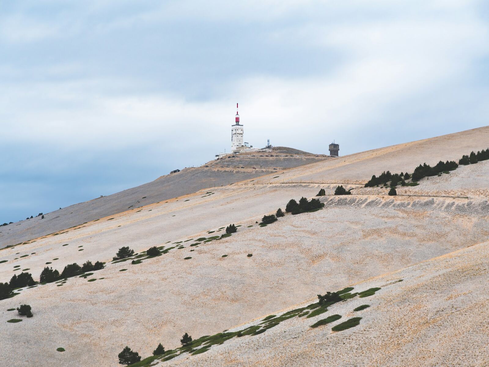
From Malaucène
As hard as Bédoin, but up and down: steep ramps alternate with flatter sections. It is the shadiest side lower down, with a bare, twisting finish.
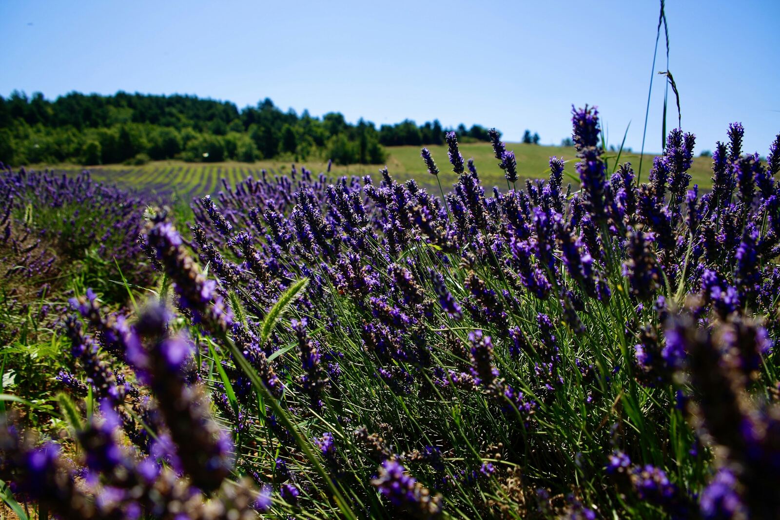
From Sault
The longest and gentlest: a lavender plateau, a moderately sloping forest, a long flat stretch, then the last 6 kilometres of the Bédoin route. The best for a first time.
Checked on 29/09/2026. Sources: vaucluse.fr · fr.wikipedia.org · provence-a-velo.fr · ventouxprovence.fr.