Bonjour Ventoux
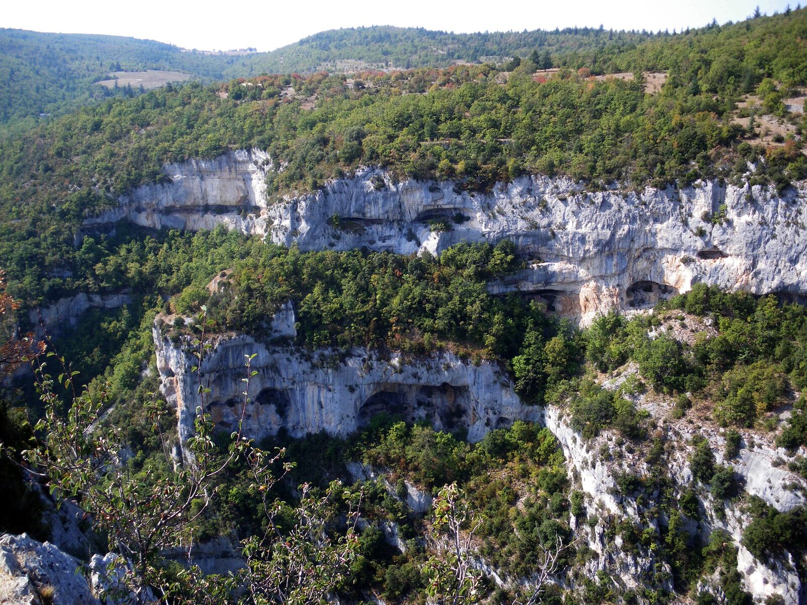
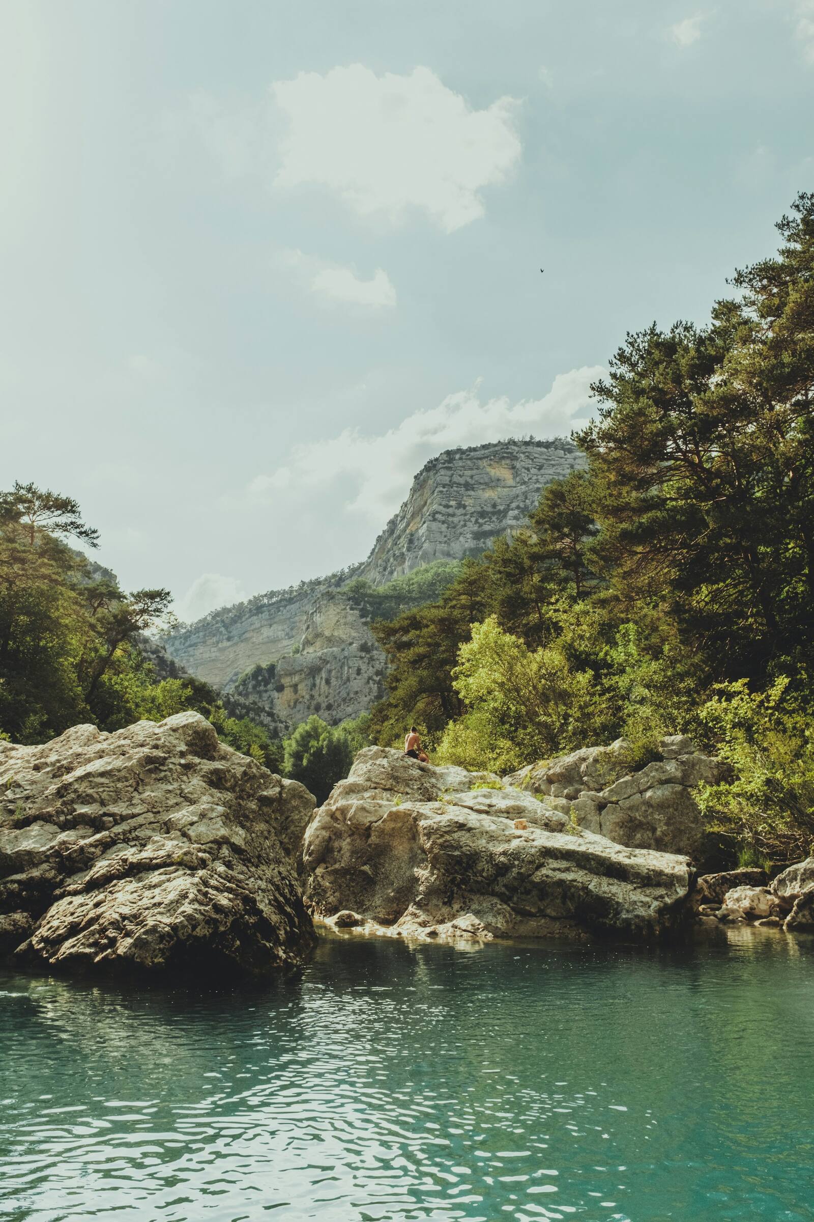
Limestone cliffs and forest above a gorge
Idea

Walks and nature

Gorges, springs, ridges and forests, from a one-hour stroll to a hike to the summit.

Photo: Bernard Hermant, Unsplash

Gorges de la Nesque, Toulourenc, the Groseau spring, the Dentelles, the Ventoux ridges: from a one-hour stroll to a full day's hiking, the finest ways to discover the area on foot.

Things to see and do

The observatory tower on the summit of Mont Ventoux
Natural site · Bédoin

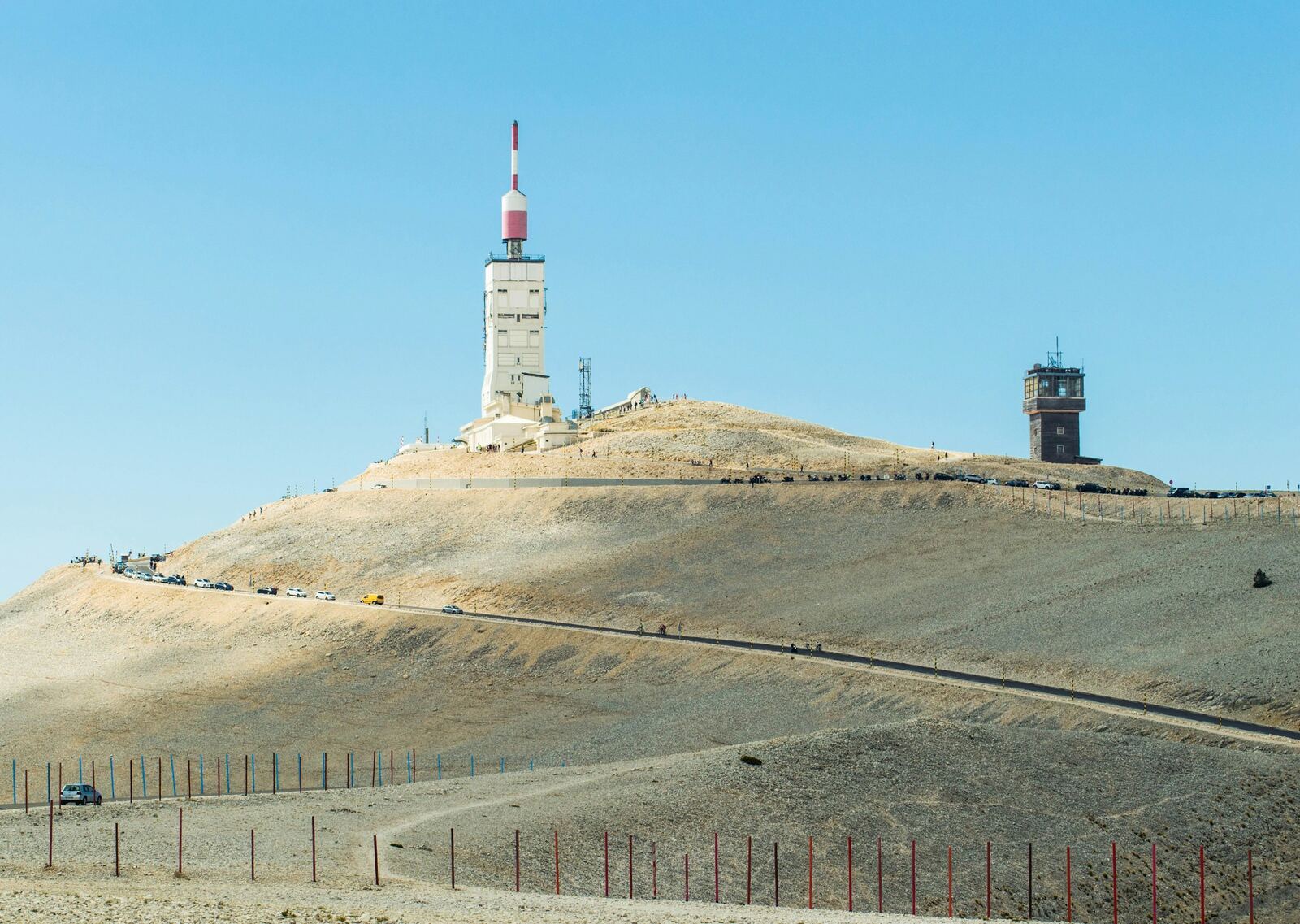
The summit of Mont Ventoux

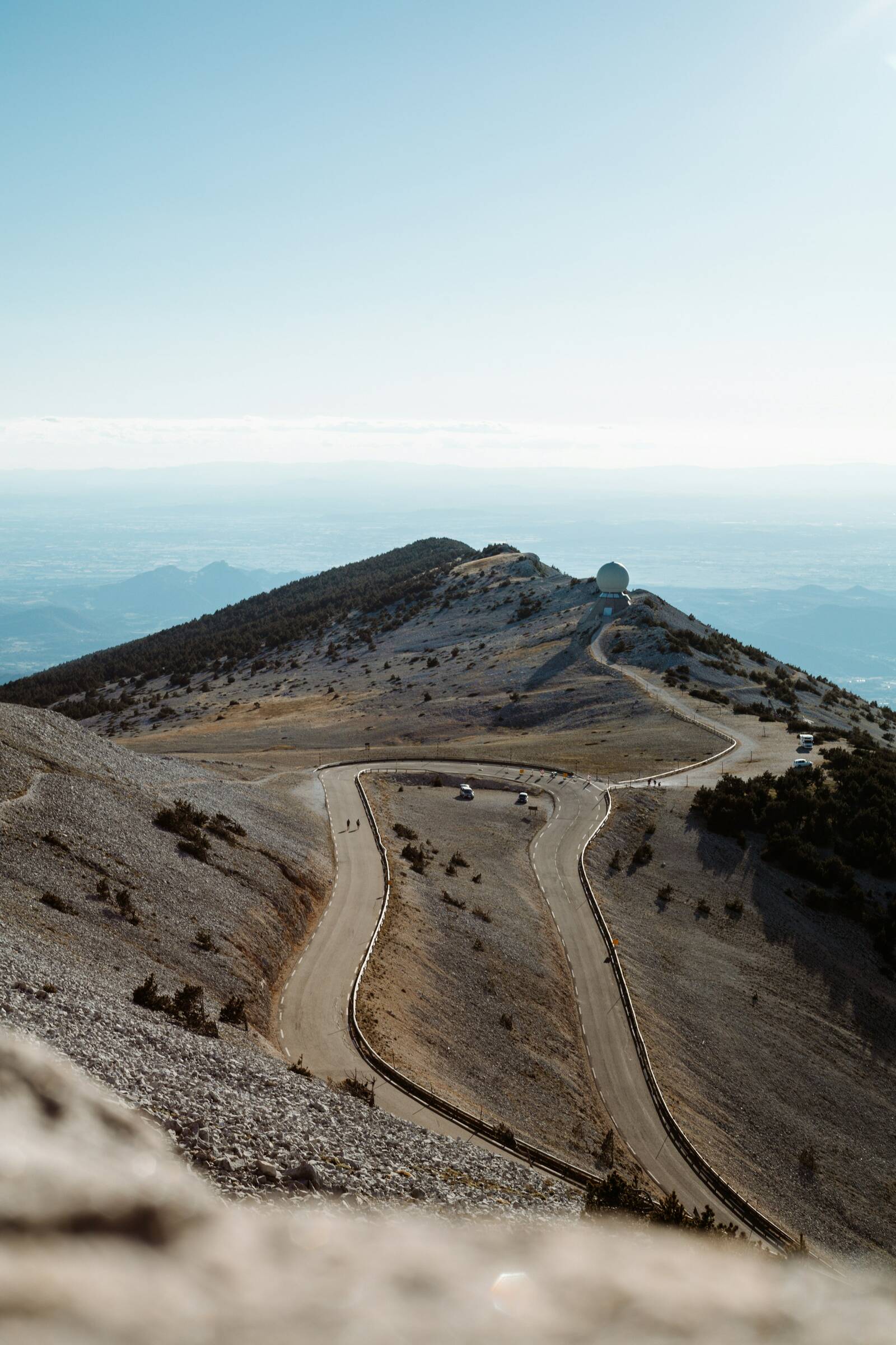
At 1,910 m, the Giant of Provence towers over the whole region. Its summit is a vast scree of white limestone, hence its other nickname, the “Bald Mountain”, topped since 1966 by an observation tower more than 40 m high. On a clear day, the view stretches from the Alps to the Mediterranean. More than 700,000 people go up every year.

The Tour de France finished a stage here on 22 July 2025, and the Tour de France Femmes held the finish of its queen stage here on 7 August 2026. Note: on 18 October 2026, the road is closed from 1pm to 6pm between Chalet Reynard and the Col des Tempêtes.

Practical info. From Bédoin, 21.8 km via the D974. Road closed in winter beyond Chalet Reynard (usually mid-November to mid-April, dates set each year). Bring warm clothing: it is much cooler than down below.
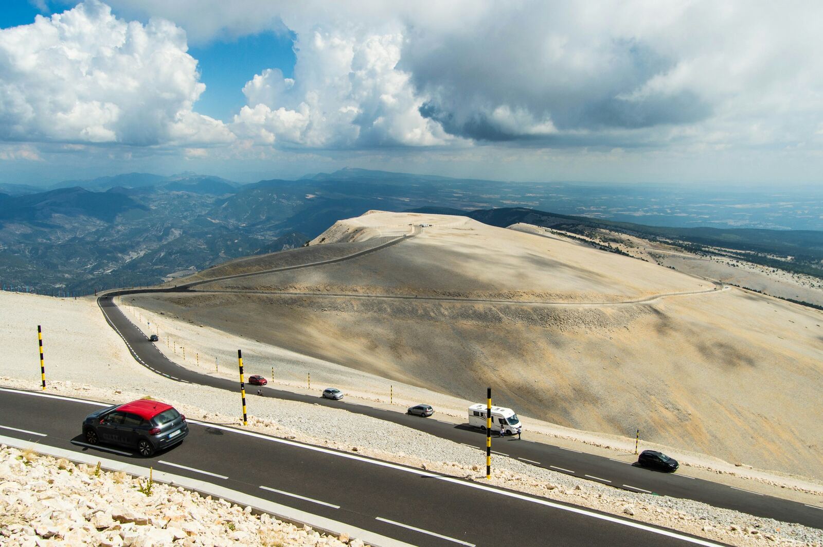
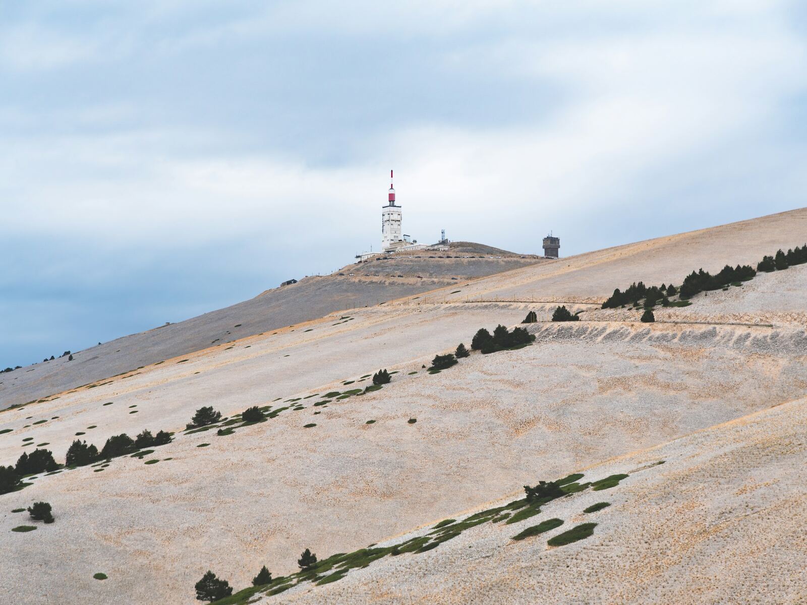
The summit road, between white scree and the valley
Stop and viewpoint · Bédoin

Chalet Reynard

At 1,417 m, where the roads from Bédoin and Sault meet, this former mountain refuge, which became a restaurant in 1927, is the essential stop on the climb. This is where the last 6 kilometres begin, through the lunar landscape of the summit. In summer, a downhill mountain bike park runs right next door.

In early October, guided outings to listen to the deer rut set off from here.

Practical info. Open all year (restaurant, shop). Reachable by car even in winter, from Bédoin or Sault.

The upper slopes of Mont Ventoux and the road
Hike · Bédoin

The Mont Ventoux ridges

A loop waymarked by the Regional Nature Park, starting from Chalet Reynard, to explore the heights of Mont Ventoux on foot, between forest and white scree.

Practical info. 12.2 km, 534 m of ascent, about 4 hrs. May to October; give up in strong wind. Walking boots and a windproof jacket are essential. Find out more ↗

Easy walk
Easy walk · Bédoin

The Bédoin quarries walk

A gentle loop of about 6 km around the village, almost flat, ideal with the family or at the end of the day when the heat eases.

Practical info. About 6 km, a 2-hour walk, 80 m of ascent. Detailed route on Visorando. Find out more ↗

The limestone cliffs of the Nesque gorge
Viewpoint · Villes-sur-Auzon

The Gorges de la Nesque road

Between Villes-sur-Auzon and Monieux, the D942 clings to the cliffside along one of the most spectacular canyons in Provence, with tunnels cut into the rock and sheer drops of around 300 m. At the belvédère du Castelleras viewpoint, you look straight down into the gorge, opposite the Rocher du Cire, named after the swarms of wild bees that once nested there.

Practical info. About 21 km of narrow road with several tunnels: drive slowly, there are lots of cyclists. Picnic area at the viewpoint, about 4 km from Monieux. You can make a loop via Méthamis. Find out more ↗

Hiking
Hike · Monieux

The Chapelle Saint-Michel, at the bottom of the gorge

From Monieux, a path leads down to the bottom of the Gorges de la Nesque to a small Romanesque chapel tucked beneath a rock shelter. The river, almost always dry, seeps into the limestone: you walk along its bed, between the cliffs. The wildest way to discover the canyon.

Practical info. Starts from Monieux (lake). About 2 hrs there and back, or a loop of about 8 km (3.5 hrs, 366 m of ascent). From 15 June to 15 September, check access to the hills the day before (fire risk). Find out more ↗

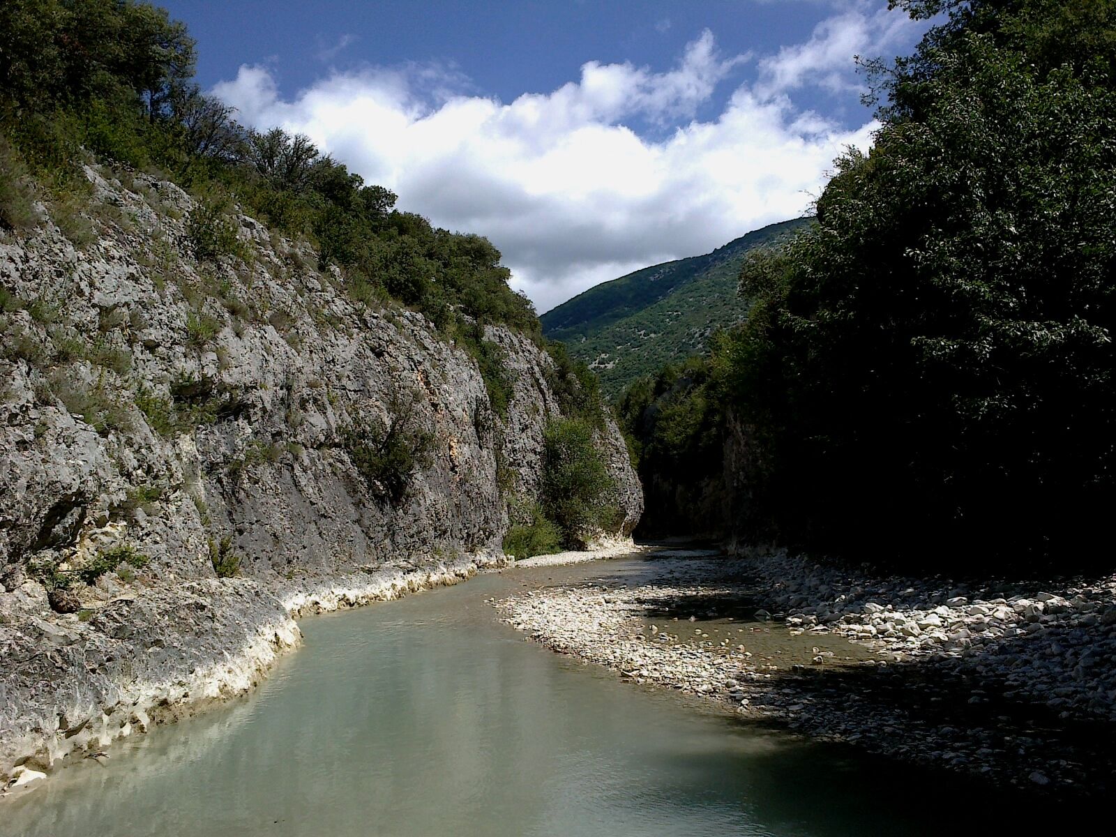
The Toulourenc beneath the cliffs, in the gorge near Veaux
River walk · Malaucène

The Gorges du Toulourenc

North of Mont Ventoux, the Toulourenc has carved out gorges around a hundred metres high; at the narrowest point, the Estrechon, they are sometimes only 1.50 m wide. In summer, you walk upstream with your feet in the water, between the limestone walls: a refreshing hike that families love.

Practical info. Starts from the car park in the hamlet of Veaux (Malaucène), paid and regulated in summer, often full by mid-morning. Wear closed shoes that can go in the water. Do not go if storms are forecast: the water can rise suddenly. No access during orange or red weather warnings. Find out more ↗

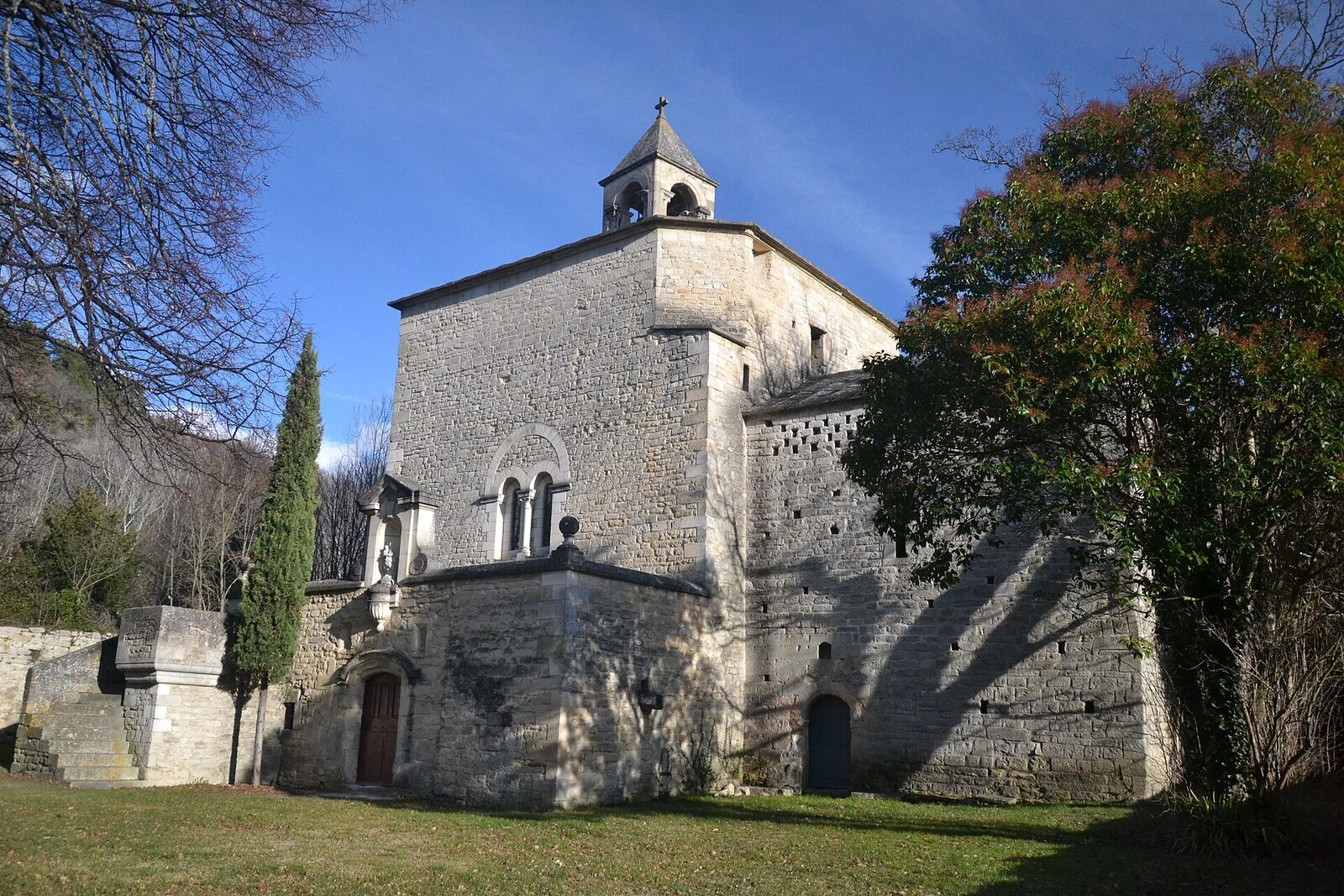
The Romanesque chapel of Notre-Dame-du-Groseau, near Malaucène
Natural site · Malaucène

The Groseau spring and chapel

Just outside Malaucène, on the road up Mont Ventoux, a spring gushes out at the foot of a cliff more than 100 m high: it is the second-largest resurgence in the Vaucluse after Fontaine-de-Vaucluse, tapped by the Romans to supply Vaison-la-Romaine. Close by, the Romanesque chapel of Notre-Dame-du-Groseau was once a summer residence of Pope Clement V.

Practical info. Free access all year, car park and picnic area: a cool spot in summer. The chapel, closed to the public, can be seen from outside. Waymarked 5.4 km loop from the village. Find out more ↗

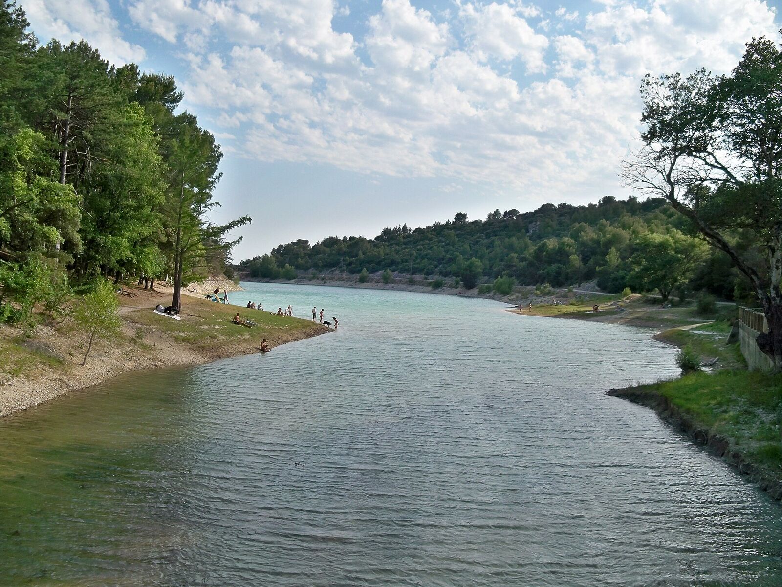
The Paty lake among the pines, above Caromb
Natural site · Caromb

The lac du Paty

At the foot of Mont Ventoux, this long, narrow lake is held back by a dam built between 1764 and 1766, one of the oldest large dams in France still in use. Surrounded by pines and olive trees, facing the Dentelles and Mont Ventoux, it is perfect for a stroll, a picnic or some fishing.

Practical info. Free access, picnic tables. Fishing regulated (permit required). No supervised swimming: for a family swim, choose the plan d'eau des Salettes lake instead. Find out more ↗

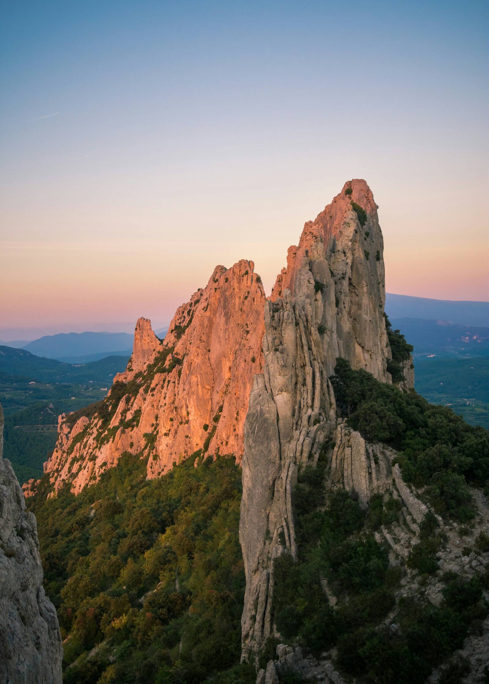
The Dentelles de Montmirail at sunset
Hike · Gigondas

The Dentelles de Montmirail

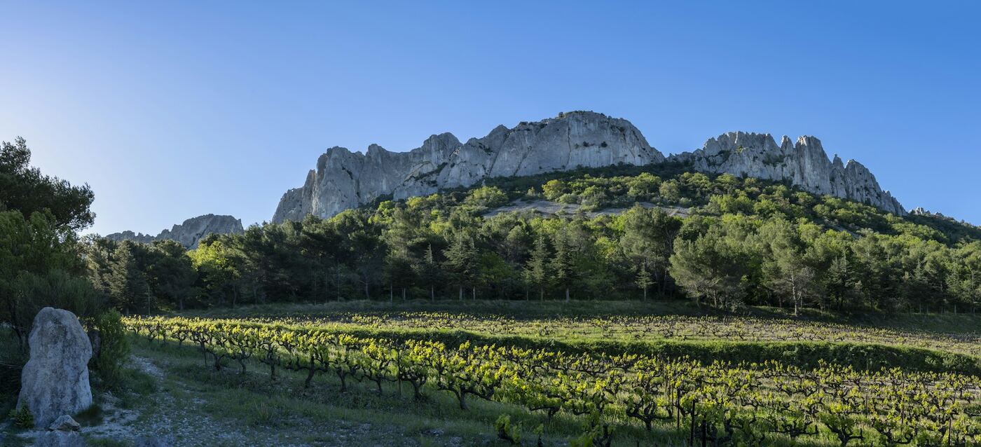
Facing Mont Ventoux, finely chiselled blades of limestone rise above the vineyards of Gigondas. An easy loop climbs to the Rocher du Midi and its viewpoint indicator, then joins the Col du Cayron at the foot of the cliffs. The rock faces are also a renowned climbing spot.

Practical info. Starts from the centre of Gigondas, about 2 hrs, easy. From 15 June to 15 September the hills may be closed: check the access map the evening before. Find out more ↗

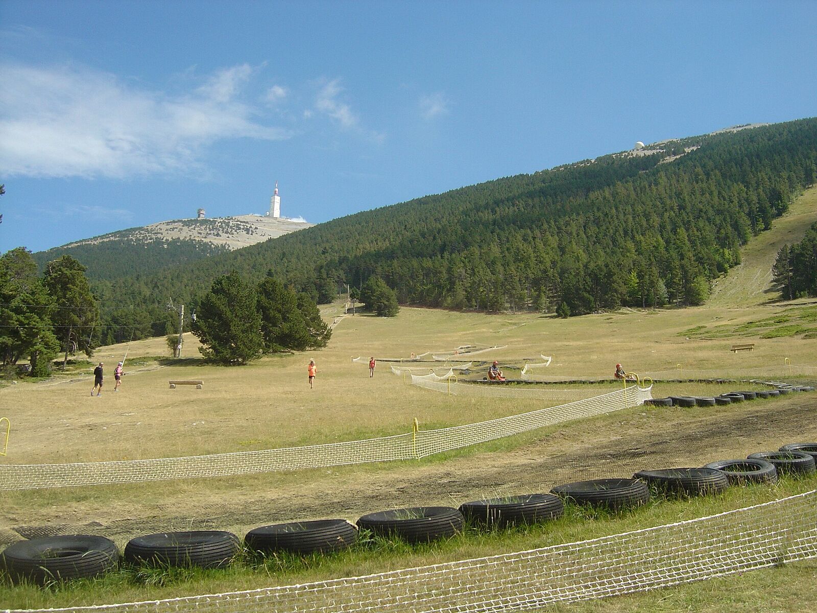
The slopes of the Mont Serein resort, with the summit of the Ventoux in the distance
Family activities · Beaumont-du-Ventoux

The Mont Serein resort

On the north side of Mont Ventoux, at around 1,400 m, the resort stays much cooler than the plain in summer. Families will find a summer toboggan (dévalkart), tubing, treetop adventure courses from age 3, trampolines, pony rides and short hiking trails. In winter, it is a small ski resort.

Practical info. In summer, open in the afternoon: every day in July and August, weekends in June and early September. Activities are paid; check opening times with the resort. Find out more ↗

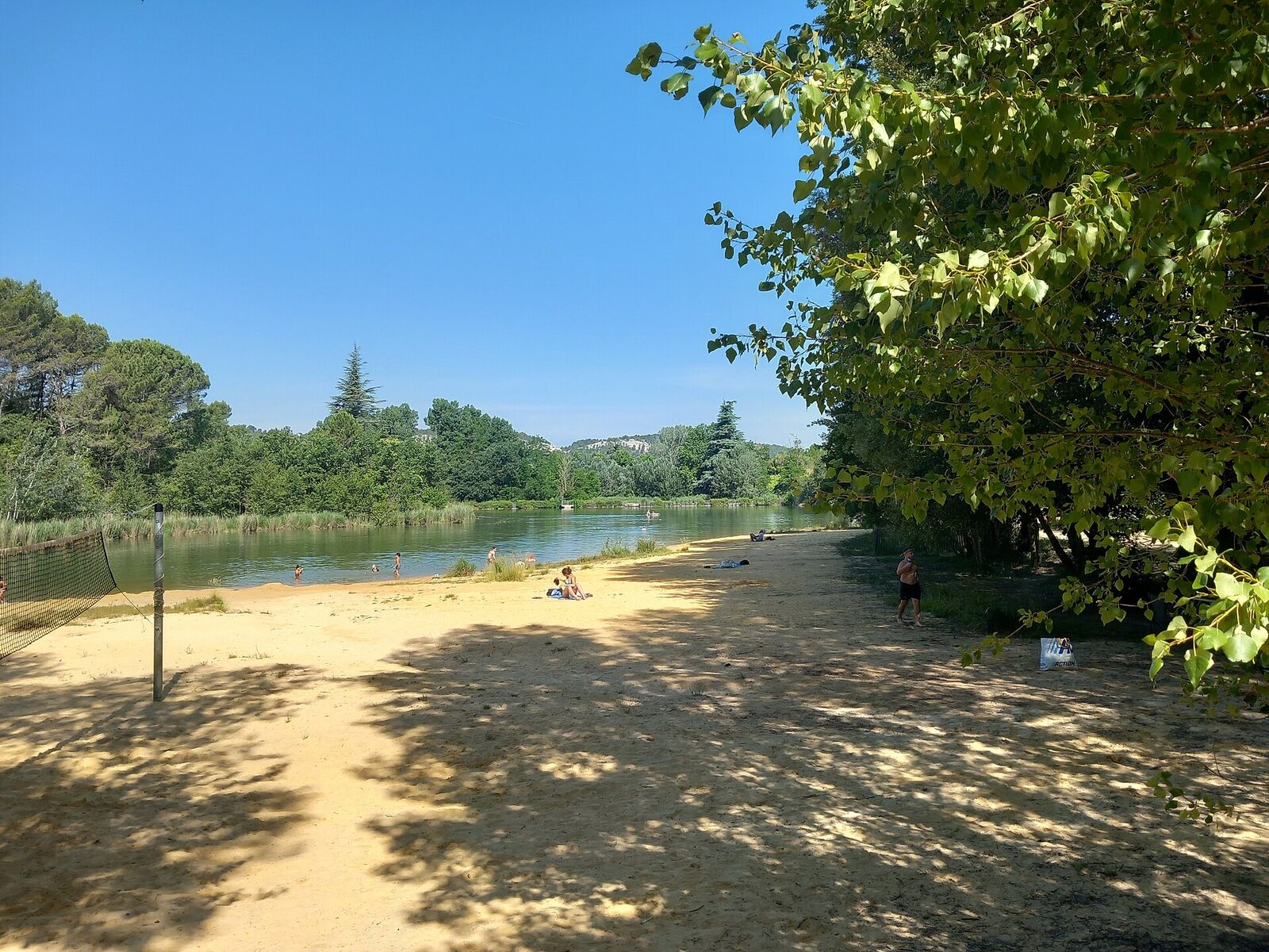
The sandy beach at the Salettes lake, in Mormoiron
Swimming · Mormoiron

The plan d'eau des Salettes lake

Among the vineyards, facing Mont Ventoux, this lake has a sandy beach lined with pines and lifeguarded swimming in summer: one of the few places near Mont Ventoux for a family swim. Around it: walks, mountain biking and orienteering courses.

Practical info. Free entry, paid parking. Lifeguarded swimming in summer. Restaurant and toilets on site. Right next door, the Ventoux Aventure treetop adventure park. Find out more ↗

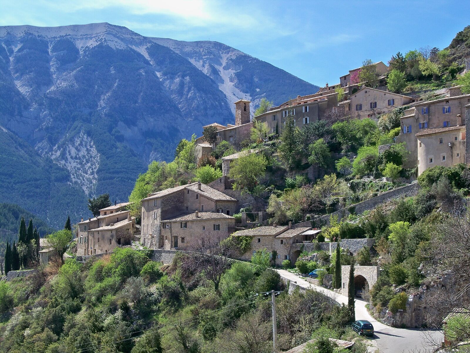
The village of Brantes clinging to the slope, facing the Ventoux
Village · Brantes

Brantes, facing the north face

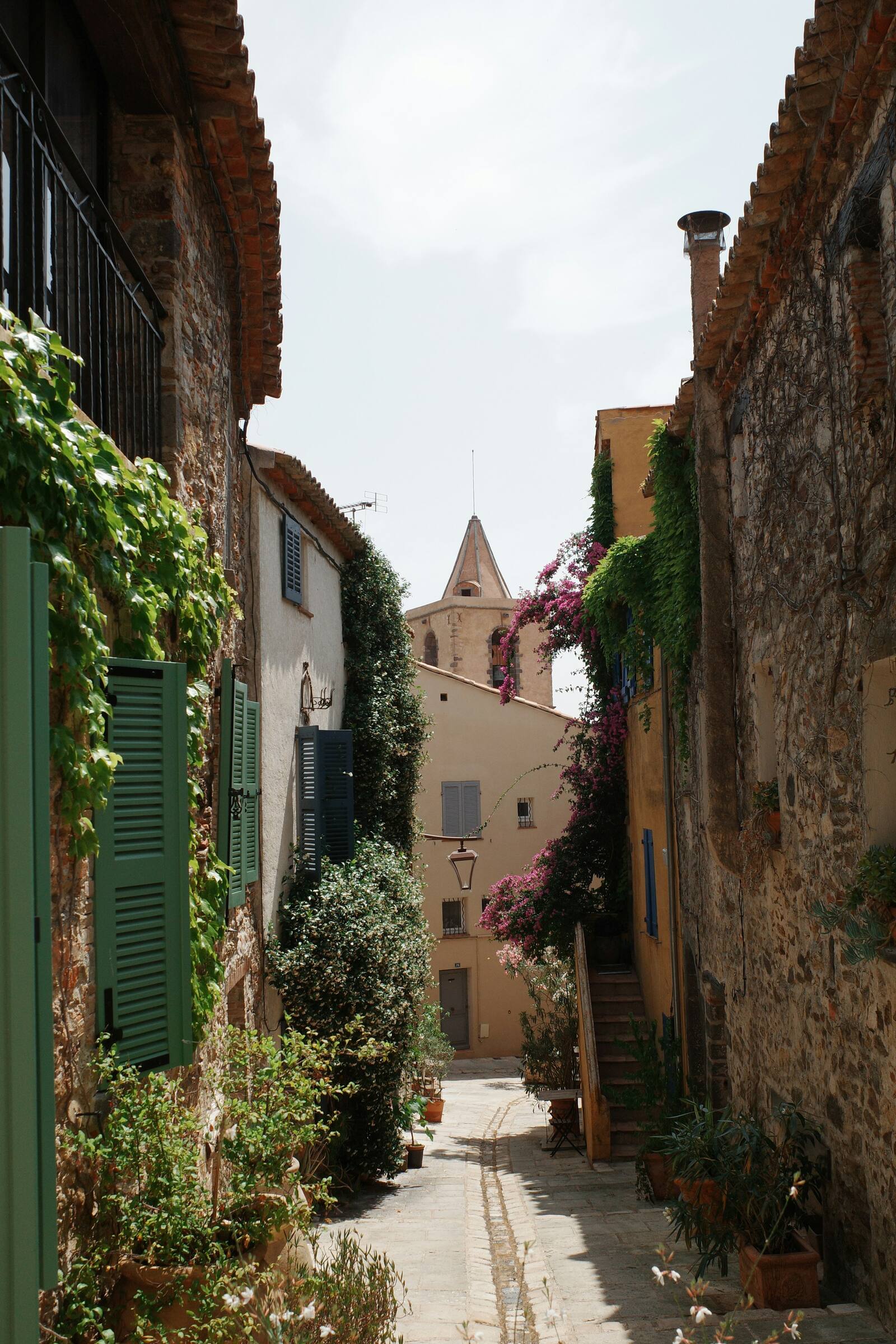
Perched above the Toulourenc valley, this hamlet of barely a hundred inhabitants faces the north side of Mont Ventoux, the steepest. Cobbled lanes, vaulted passageways, a wash house and the ruins of a medieval castle: one of the finest balconies overlooking the Giant.

Practical info. Park at the bottom of the village, then explore on foot. Combine with the Gorges du Toulourenc. Find out more ↗

A lavender field in bloom
Flavours · Sault

Lavender fields of the pays de Sault

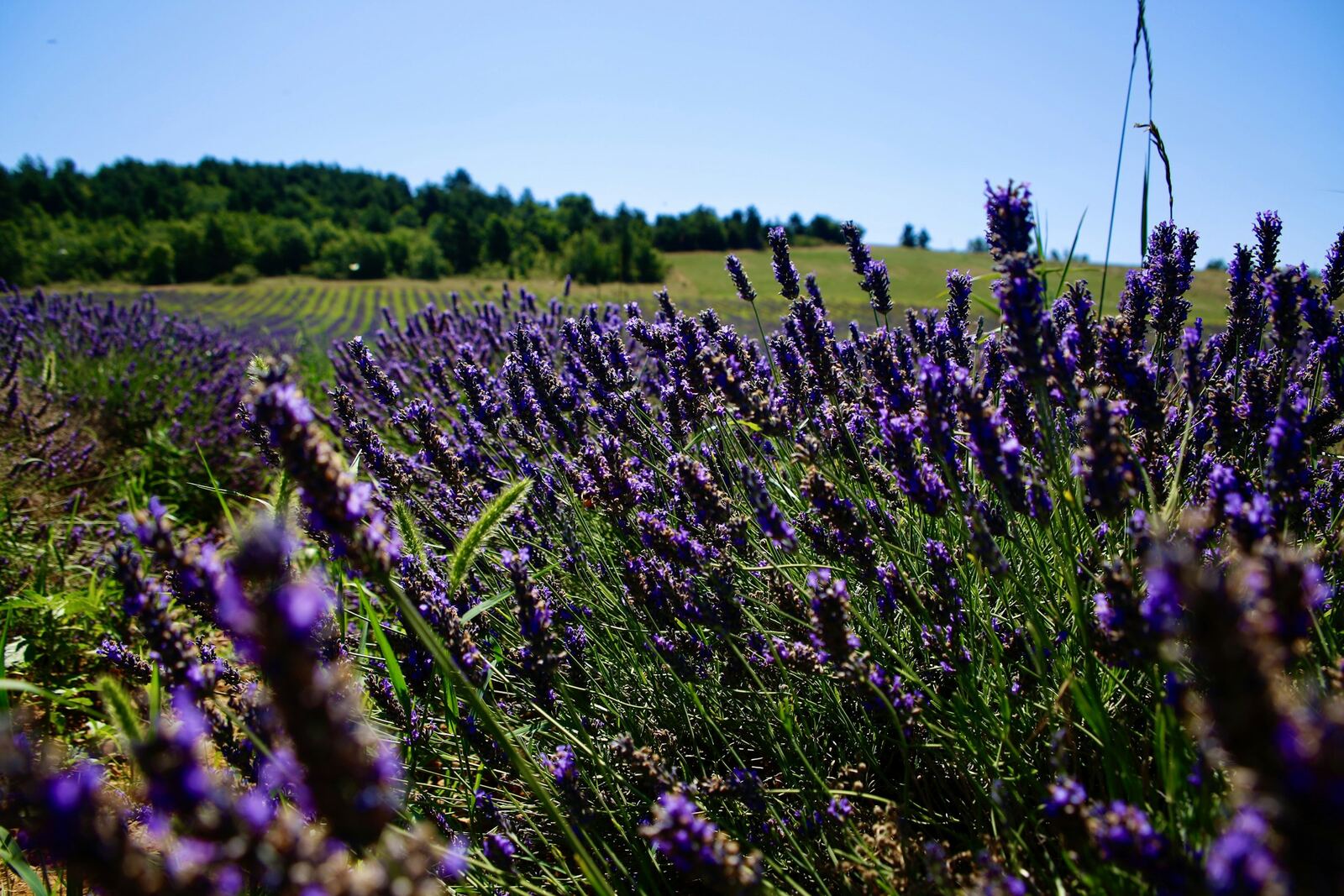
On the Sault plateau, at around 800 m, fine lavender and lavandin are grown. Fine lavender flowers mainly in the first half of July, lavandin from mid-July to mid-August. Every 15 August, the Sault lavender festival draws tens of thousands of visitors.

Practical info. Flowering varies with the weather. Market in Sault on Wednesday morning. Do not pick the flowers or walk into the fields: they are crops. Find out more ↗

Going up to the summit on foot: see Mont Ventoux without a bike.

More ideas

Places checked on 29/09/2026. Find them all on the map.